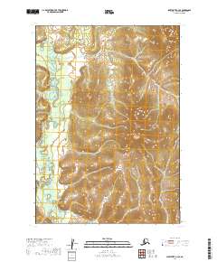
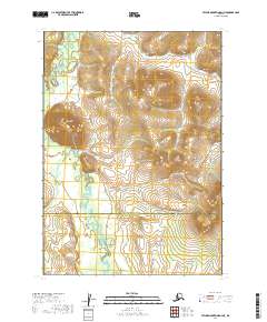
2019 Map of Sleetmute A-3 SE
USGS Topo · Published 2019About this map
Titnuk Creek meanders through the western reaches of this remote interior Alaska landscape, providing the primary drainage for the surrounding hills. This 2019 survey, produced by the U.S. Geological Survey, illustrates a terrain defined by significant elevation changes and high ridges across the Bethel Census Area. The map highlights the vast, unpopulated character of the region, emphasizing the natural topography and waterway patterns rather than human infrastructure. Detailed contour lines reveal the complex drainage systems and sub-basins that feed into the creek, offering an essential record of the area's geomorphology. The land is partitioned into survey townships including t12n r43w and t11n r42w, though the absence of roads or settlements underscores the wilderness character of this part of the Sleetmute quadrangle.
Find a feature on this map
5 named features on this map. Tap any name to fly to it.
Don’t see what you’re looking for? This feature index may not catch every label — zoom into the map to look around manually.
Map Details
Editions of this 2019 Sleetmute A-3 SE Map
This is the sole edition of this map. No revisions or reprints were ever made.
Other maps of this area

1950 · Sleetmute
USGS Topo · 1:250,000

1950 · Taylor Mountains
USGS Topo · 1:250,000

1951 · Taylor Mountains
USGS Topo · 1:250,000

1954 · Sleetmute
USGS Topo · 1:250,000

1954 · Taylor Mountains
USGS Topo · 1:250,000
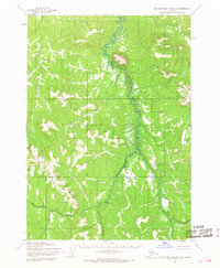
1954 · Taylor Mountains D-3
USGS Topo · 1:63,360
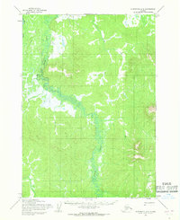
1954 · Sleetmute A-3
USGS Topo · 1:63,360

1954 · Taylor Mountains D-2
USGS Topo · 1:63,360
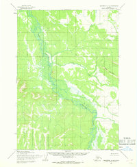
1954 · Sleetmute A-2
USGS Topo · 1:63,360
2019 · Taylor Mountains D-3 NE
USGS Topo · 1:25,000