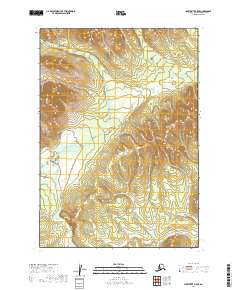
2019 Map of Sleetmute B-5 SE
USGS Topo · Published 2019About this map
Chuilnuk River dominates the western portion of this Bethel Census Area landscape, winding through a series of valleys that define the local drainage patterns. In the northeast, Itulilik Cr cuts through the high ground, illustrating the hydrological network that characterizes this part of the Alaska interior. The absence of roads or permanent settlements on this 2019 survey emphasizes the area's wilderness character, where the landscape is primarily organized by its river systems and the survey boundaries of t14n r47w and t15n r46w. For those studying the geography of southwestern Alaska, the map provides a clear record of the natural topography and watercourses before significant human development.
Find a feature on this map
8 named features on this map. Tap any name to fly to it.
Don’t see what you’re looking for? This feature index may not catch every label — zoom into the map to look around manually.
Map Details
Editions of this 2019 Sleetmute B-5 SE Map
This is the sole edition of this map. No revisions or reprints were ever made.
Other maps of this area

1950 · Sleetmute
USGS Topo · 1:250,000

1954 · Sleetmute
USGS Topo · 1:250,000

1954 · Sleetmute A-5
USGS Topo · 1:63,360

1954 · Sleetmute B-5
USGS Topo · 1:63,360

1954 · Sleetmute B-4
USGS Topo · 1:63,360
1954 · Sleetmute A-4
USGS Topo · 1:63,360
2019 · Sleetmute B-5 NE
USGS Topo · 1:25,000
2019 · Sleetmute B-4 SW
USGS Topo · 1:25,000
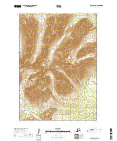
2019 · Sleetmute B-5 SW
USGS Topo · 1:25,000
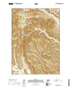
2019 · Sleetmute A-4 NW
USGS Topo · 1:25,000