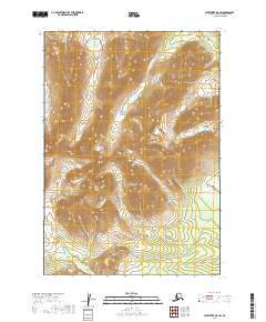
2019 Map of Sleetmute B-5 SW
USGS Topo · Published 2019About this map
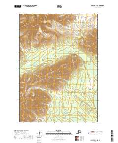
Chuilnuk Mountains define the interior of this Southwest Alaska landscape, where the high ridges of the Kuskokwim Mountains rise between river drainages. This 2019 survey documents a wilderness area defined by significant elevation changes and the headwaters of vital regional waterways. The Chuilnuk River meanders through the central and northeastern sections of the quadrangle, carving a valley between the steep slopes. Tributaries like Chineekluk Cr on the western edge and Portage Cr to the south illustrate the complex drainage patterns of the Bethel Census Area. The absence of roads or settlements emphasizes the remote nature of this terrain, where the landscape is shaped entirely by natural watercourses and the stark topography of the mountains.
Find a feature on this map
10 named features on this map. Tap any name to fly to it.
Don’t see what you’re looking for? This feature index may not catch every label — zoom into the map to look around manually.
Map Details
Editions of this 2019 Sleetmute B-5 SW Map
This is the sole edition of this map. No revisions or reprints were ever made.
Other maps of this area

1950 · Sleetmute
USGS Topo · 1:250,000

1954 · Sleetmute
USGS Topo · 1:250,000

1954 · Sleetmute A-5
USGS Topo · 1:63,360

1954 · Sleetmute B-5
USGS Topo · 1:63,360

1954 · Sleetmute A-6
USGS Topo · 1:63,360

1954 · Sleetmute B-6
USGS Topo · 1:63,360
2019 · Sleetmute B-6 SE
USGS Topo · 1:25,000
2019 · Sleetmute B-5 NE
USGS Topo · 1:25,000
2019 · Sleetmute B-5 SE
USGS Topo · 1:25,000
2019 · Sleetmute A-6 NE
USGS Topo · 1:25,000