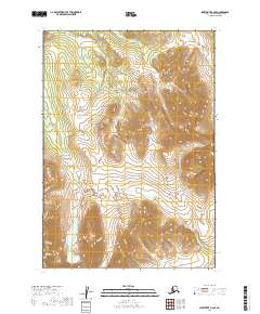
2019 Map of Sleetmute B-6 SE
USGS Topo · Published 2019About this map
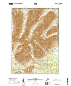
The Kuskokwim Mountains and the Chuilnuk Mountains converge in this high-altitude landscape of the Bethel Census Area. The topography is defined by significant drainage networks, most notably Portage Creek, which winds through the central and southern valleys. To the southwest, the Kiokluk Mountains rise above Tevyaraq Lake, a prominent water body in an otherwise stream-dominated terrain. The map details the complex elevations of the interior, including the headwaters of Chingekluk Creek in the northeastern reaches. This survey provides a precise view of the undeveloped Alaskan wilderness before any modern infrastructure or road networks were established, illustrating the natural geographic boundaries of the public land survey system across Townships 13, 14, and 15 North.
Find a feature on this map
12 named features on this map. Tap any name to fly to it.
Don’t see what you’re looking for? This feature index may not catch every label — zoom into the map to look around manually.
Map Details
Editions of this 2019 Sleetmute B-6 SE Map
This is the sole edition of this map. No revisions or reprints were ever made.
Other maps of this area

1950 · Sleetmute
USGS Topo · 1:250,000

1954 · Sleetmute
USGS Topo · 1:250,000

1954 · Sleetmute A-5
USGS Topo · 1:63,360

1954 · Sleetmute B-5
USGS Topo · 1:63,360

1954 · Sleetmute A-6
USGS Topo · 1:63,360

1954 · Sleetmute B-6
USGS Topo · 1:63,360
2019 · Sleetmute B-6 SW
USGS Topo · 1:25,000
2019 · Sleetmute B-6 NW
USGS Topo · 1:25,000
2019 · Sleetmute A-6 NW
USGS Topo · 1:25,000
2019 · Sleetmute B-5 SW
USGS Topo · 1:25,000