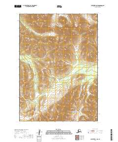
2019 Map of Sleetmute A-6 NW
USGS Topo · Published 2019About this map
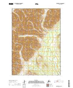
Kiokluk Mountains dominate the landscape in this portion of the Bethel Census Area, illustrating the high-elevation relief typical of the Kuskokwim region. This 2019 topographic survey, based on data from the National Hydrography Dataset and the National Elevation Dataset, documents a series of drainages that carve through the upland terrain. Notable watercourses include Kiokluk Cr in the northeast, Egozuk Cr in the west, and Bakbuk Cr in the south. The absence of roads or established settlements on the sheet underscores the wilderness character of the territory during the early 21st century. The map provides a clear picture of the land's physical structure, showing the precise township and range divisions such as t13n r50w and t13n r49w that define these remote interior tracts.
Find a feature on this map
8 named features on this map. Tap any name to fly to it.
Don’t see what you’re looking for? This feature index may not catch every label — zoom into the map to look around manually.
Map Details
Editions of this 2019 Sleetmute A-6 NW Map
This is the sole edition of this map. No revisions or reprints were ever made.
Other maps of this area

1950 · Sleetmute
USGS Topo · 1:250,000

1954 · Sleetmute
USGS Topo · 1:250,000

1954 · Sleetmute A-7
USGS Topo · 1:63,360

1954 · Sleetmute A-6
USGS Topo · 1:63,360

1954 · Sleetmute B-6
USGS Topo · 1:63,360

1954 · Sleetmute B-7
USGS Topo · 1:63,360
2019 · Sleetmute A-7 SE
USGS Topo · 1:25,000
2019 · Sleetmute B-6 SW
USGS Topo · 1:25,000
2019 · Sleetmute A-7 NE
USGS Topo · 1:25,000
2019 · Sleetmute A-6 SW
USGS Topo · 1:25,000