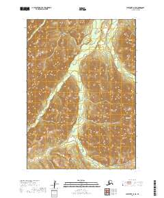
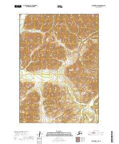
2019 Map of Sleetmute A-7 NE
USGS Topo · Published 2019About this map
The Holokuk River winds through this interior landscape in the Bethel Census Area, illustrating the complex drainage patterns characteristic of the Alaska wilderness. Flanked by the high elevations of the Kiokluk Mountains to the northeast and the Kuskokwim Mountains to the southeast, the terrain is defined by its dramatic relief and multiple tributary systems. Several watercourses, including Girl Cr, Egozuk Cr, and Boss Cr, feed into the primary river valley, following the natural contours of the mountain slopes. The survey provides a clear view of the land's topographical structure before modern development, documenting the raw geography of the region as it existed in the early 21st century.
Find a feature on this map
10 named features on this map. Tap any name to fly to it.
Don’t see what you’re looking for? This feature index may not catch every label — zoom into the map to look around manually.
Map Details
Editions of this 2019 Sleetmute A-7 NE Map
This is the sole edition of this map. No revisions or reprints were ever made.
Other maps of this area

1950 · Sleetmute
USGS Topo · 1:250,000

1954 · Sleetmute
USGS Topo · 1:250,000

1954 · Sleetmute A-7
USGS Topo · 1:63,360

1954 · Sleetmute A-6
USGS Topo · 1:63,360

1954 · Sleetmute B-6
USGS Topo · 1:63,360

1954 · Sleetmute B-7
USGS Topo · 1:63,360
2019 · Sleetmute B-7 SW
USGS Topo · 1:25,000
2019 · Sleetmute A-7 SW
USGS Topo · 1:25,000
2019 · Sleetmute A-7 SE
USGS Topo · 1:25,000
2019 · Sleetmute A-7 NW
USGS Topo · 1:25,000