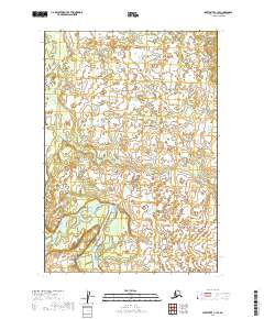
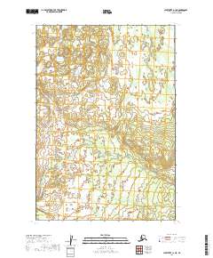
2019 Map of Sleetmute C-1 SE
USGS Topo · Published 2019About this map
The Stony River winds through the southwestern corner of this 2019 survey, carving a path through a landscape dominated by extensive wetlands and seasonal water bodies. This portion of the Bethel Census Area is characterized by a high density of small, unnamed lakes and intricate drainage patterns typical of the Alaskan interior. While the map is sparse of named human settlements, it provides a precise look at the township and range boundaries, such as T17n R38w and t18n r37w, which are essential for understanding land divisions and public land surveys in this undeveloped region. The detailed hydrography highlights the shifting nature of the river channels and the complex network of ponds that define the local topography.
Find a feature on this map
6 named features on this map. Tap any name to fly to it.
Don’t see what you’re looking for? This feature index may not catch every label — zoom into the map to look around manually.
Map Details
Editions of this 2019 Sleetmute C-1 SE Map
This is the sole edition of this map. No revisions or reprints were ever made.
Other maps of this area

1950 · Sleetmute
USGS Topo · 1:250,000

1951 · Lime Hills
USGS Topo · 1:250,000

1954 · Sleetmute C-1
USGS Topo · 1:63,360

1954 · Sleetmute
USGS Topo · 1:250,000

1954 · Lime Hills B-8
USGS Topo · 1:63,360
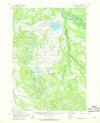
1954 · Sleetmute B-1
USGS Topo · 1:63,360
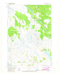
1958 · Lime Hills C-8
USGS Topo · 1:63,360

1958 · Lime Hills
USGS Topo · 1:250,000
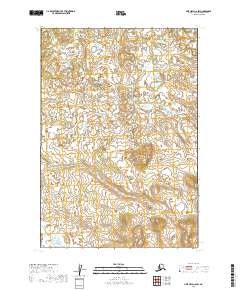
2019 · Lime Hills C-8 SW
USGS Topo · 1:25,000
2019 · Sleetmute C-1 NE
USGS Topo · 1:25,000