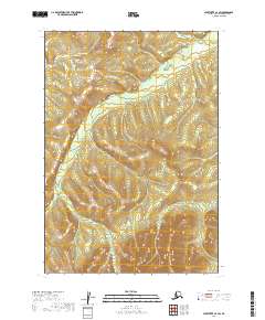
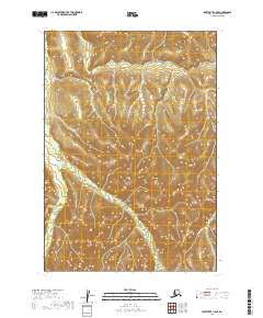
2019 Map of Sleetmute C-4 SW
USGS Topo · Published 2019About this map
Vreeland Cr flows through the northern reaches of this interior landscape in the Bethel Census Area, winding through a network of wetlands and varying elevations. This 2019 survey by the U.S. Geological Survey provides a precise view of the Public Land Survey System boundaries, specifically highlighting the intersection of t18n r45w, t17n r45w, and t16n r45w. The terrain is defined by its drainage patterns and the absence of developed road infrastructure, reflecting a remote wilderness character typical of this region of Alaska. Researchers can examine the township and range lines as they intersect the natural hydrology of the creek and its surrounding marshlands, offering a clear record of the administrative and physical geography at this specific coordinates.
Find a feature on this map
7 named features on this map. Tap any name to fly to it.
Don’t see what you’re looking for? This feature index may not catch every label — zoom into the map to look around manually.
Map Details
Editions of this 2019 Sleetmute C-4 SW Map
This is the sole edition of this map. No revisions or reprints were ever made.
Other maps of this area

1950 · Sleetmute
USGS Topo · 1:250,000

1954 · Sleetmute C-4
USGS Topo · 1:63,360

1954 · Sleetmute C-5
USGS Topo · 1:63,360

1954 · Sleetmute
USGS Topo · 1:250,000

1954 · Sleetmute B-5
USGS Topo · 1:63,360

1954 · Sleetmute B-4
USGS Topo · 1:63,360
2019 · Sleetmute B-5 NE
USGS Topo · 1:25,000
2019 · Sleetmute C-4 NW
USGS Topo · 1:25,000
2019 · Sleetmute B-4 NE
USGS Topo · 1:25,000
2019 · Sleetmute C-5 SE
USGS Topo · 1:25,000