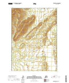
2019 Map of Sleetmute B-4 NE
USGS Topo · Published 2019About this map
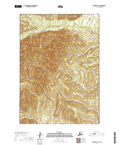
Keefer Cr winds through this expanse of the Alaska interior, providing the primary drainage for the undulating landscape. This 2019 survey documents the intricate topography where the Bethel Census Area meets the township boundaries of t16n r45w and t16n r44w. The land is defined by a complex network of small hills and wetlands, a characteristic pattern of the region before significant human development. With no roads or permanent settlements recorded on this sheet, the map serves as a primary reference for the natural hydrology and the established township and range grid system used by the Bureau of Land Management to define this part of the Alaskan wilderness.
Find a feature on this map
5 named features on this map. Tap any name to fly to it.
Don’t see what you’re looking for? This feature index may not catch every label — zoom into the map to look around manually.
Map Details
Editions of this 2019 Sleetmute B-4 NE Map
This is the sole edition of this map. No revisions or reprints were ever made.
Other maps of this area

1950 · Sleetmute
USGS Topo · 1:250,000

1954 · Sleetmute C-4
USGS Topo · 1:63,360

1954 · Sleetmute C-3
USGS Topo · 1:63,360

1954 · Sleetmute
USGS Topo · 1:250,000

1954 · Sleetmute B-3
USGS Topo · 1:63,360

1954 · Sleetmute B-4
USGS Topo · 1:63,360
2019 · Sleetmute C-3 SW
USGS Topo · 1:25,000
2019 · Sleetmute B-3 SW
USGS Topo · 1:25,000
2019 · Sleetmute B-3 NW
USGS Topo · 1:25,000
2019 · Sleetmute B-4 SW
USGS Topo · 1:25,000