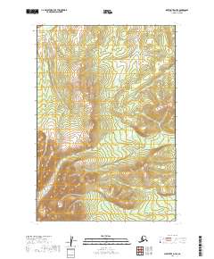
2019 Map of Sleetmute D-7 SE
USGS Topo · Published 2019About this map
Oujohaydok Ridge rises as the primary topographic landmark in this portion of the Bethel Census Area, overseeing a landscape defined by the convergence of several small watersheds. The western drainage is dominated by Getmuna Cr, while the central and southern reaches are carved by the winding course of Jungjuk Cr. This 2019 survey documents a wilderness environment largely devoid of human structures, focusing instead on the hydrography of the region including Village Cr. The mapping of these remote watercourses and ridges provides a precise baseline for understanding the physical geography of the Alaskan interior before any significant development or infrastructure took root in this specific quadrant.
Find a feature on this map
10 named features on this map. Tap any name to fly to it.
Don’t see what you’re looking for? This feature index may not catch every label — zoom into the map to look around manually.
Map Details
Editions of this 2019 Sleetmute D-7 SE Map
This is the sole edition of this map. No revisions or reprints were ever made.
Other maps of this area

1950 · Sleetmute
USGS Topo · 1:250,000

1954 · Sleetmute D-6
USGS Topo · 1:63,360
1954 · Sleetmute D-7
USGS Topo · 1:63,360

1954 · Sleetmute C-6
USGS Topo · 1:63,360

1954 · Sleetmute
USGS Topo · 1:250,000
1957 · Sleetmute C-7
USGS Topo · 1:63,360
2019 · Sleetmute D-7 NE
USGS Topo · 1:25,000
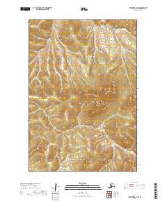
2019 · Sleetmute D-7 NW
USGS Topo · 1:25,000
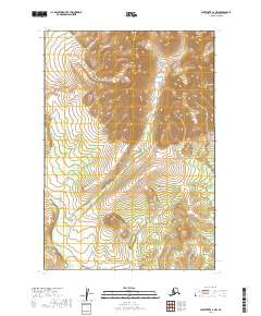
2019 · Sleetmute C-7 NW
USGS Topo · 1:25,000
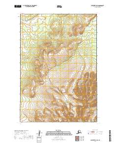
2019 · Sleetmute D-7 SW
USGS Topo · 1:25,000