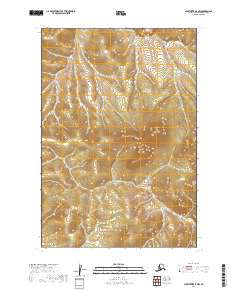
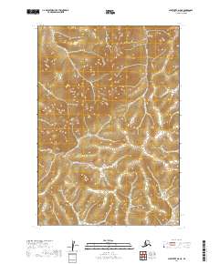
2019 Map of Sleetmute D-7 NW
USGS Topo · Published 2019About this map
Kolmakof River meanders across the southern reaches of this interior Alaskan landscape within the Bethel Census Area. The terrain is defined by a dense network of wetlands and minor drainages, with the winding course of Montana Cr cutting through the northern hills. Surveyed for the U.S. Geological Survey using data from 2010 and 2019, this sheet illustrates the remote, roadless character of the region, where natural hydrography and elevation contours provide the only landmarks. The absence of permanent settlements or structures underscores the isolation of this stretch of the Alaskan wilderness during the early twenty-first century.
Find a feature on this map
6 named features on this map. Tap any name to fly to it.
Don’t see what you’re looking for? This feature index may not catch every label — zoom into the map to look around manually.
Map Details
Editions of this 2019 Sleetmute D-7 NW Map
This is the sole edition of this map. No revisions or reprints were ever made.
Other maps of this area

1950 · Sleetmute
USGS Topo · 1:250,000

1951 · Iditarod
USGS Topo · 1:250,000
1954 · Sleetmute D-8
USGS Topo · 1:63,360
1954 · Sleetmute D-7
USGS Topo · 1:63,360

1954 · Iditarod A-6
USGS Topo · 1:63,360

1954 · Iditarod A-5
USGS Topo · 1:63,360

1954 · Sleetmute
USGS Topo · 1:250,000

1956 · Iditarod
USGS Topo · 1:250,000
2019 · Sleetmute D-7 NE
USGS Topo · 1:25,000
2019 · Sleetmute D-8 NE
USGS Topo · 1:25,000