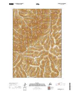
2019 Map of Sleetmute D-8 NE
USGS Topo · Published 2019About this map
Quinn Creek and its northern tributaries define the drainage patterns of this Alaskan interior landscape within the Bethel Census Area. The terrain is marked by a complex network of ridgelines and valleys, notably where Quinn Cr flows westward across the southern township line near t21n r52w. Further north, the headwaters of Rainy Cr, Small Cr, and Little Cr carve through the upland areas of t22n r52w and t22n r51w. The map emphasizes the natural hydrography and public land survey system divisions in a region without developed road infrastructure, reflecting the remote character of the Alaska Dept. of Transportation's undeveloped sectors during this period.
Find a feature on this map
8 named features on this map. Tap any name to fly to it.
Don’t see what you’re looking for? This feature index may not catch every label — zoom into the map to look around manually.
Map Details
Editions of this 2019 Sleetmute D-8 NE Map
This is the sole edition of this map. No revisions or reprints were ever made.
Other maps of this area

1950 · Sleetmute
USGS Topo · 1:250,000

1951 · Iditarod
USGS Topo · 1:250,000
1954 · Sleetmute D-8
USGS Topo · 1:63,360
1954 · Sleetmute D-7
USGS Topo · 1:63,360

1954 · Iditarod A-6
USGS Topo · 1:63,360

1954 · Sleetmute
USGS Topo · 1:250,000

1956 · Iditarod
USGS Topo · 1:250,000
2019 · Sleetmute D-7 NW
USGS Topo · 1:25,000
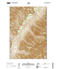
2019 · Sleetmute D-8 NW
USGS Topo · 1:25,000
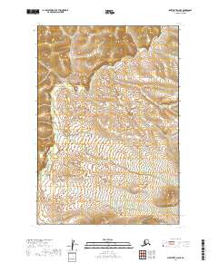
2019 · Sleetmute D-8 SE
USGS Topo · 1:25,000