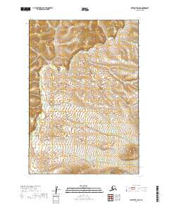
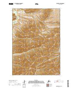
2019 Map of Sleetmute D-8 SE
USGS Topo · Published 2019About this map
Kolmakof River meanders through this remote portion of the Bethel Census Area, defining the drainage patterns of a landscape marked by extensive wetlands and subtle topographic shifts. This 2019 survey, part of the Alaska US Topo series, illustrates the intricate network of water and marshland that characterizes the region west of Sleetmute. The terrain is dominated by low-lying basins and periodic rises, with the Kolmakof River providing the primary geographical landmark for navigators and those studying the natural hydrography of the Alaskan interior. Understanding this specific section of the river system is essential for mapping the historical and ecological connectivity of the Kuskokwim River watershed.
Find a feature on this map
7 named features on this map. Tap any name to fly to it.
Don’t see what you’re looking for? This feature index may not catch every label — zoom into the map to look around manually.
Map Details
Editions of this 2019 Sleetmute D-8 SE Map
This is the sole edition of this map. No revisions or reprints were ever made.
Other maps of this area

1950 · Sleetmute
USGS Topo · 1:250,000
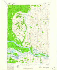
1954 · Sleetmute C-8
USGS Topo · 1:63,360
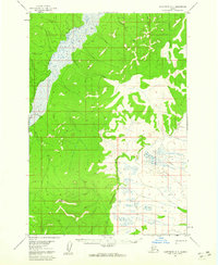
1954 · Sleetmute D-8
USGS Topo · 1:63,360
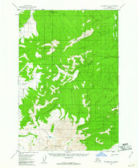
1954 · Sleetmute D-7
USGS Topo · 1:63,360

1954 · Sleetmute
USGS Topo · 1:250,000
1957 · Sleetmute C-7
USGS Topo · 1:63,360
2019 · Sleetmute D-8 NE
USGS Topo · 1:25,000
2019 · Sleetmute D-7 NW
USGS Topo · 1:25,000
2019 · Sleetmute D-8 NW
USGS Topo · 1:25,000
2019 · Sleetmute C-8 NE
USGS Topo · 1:25,000