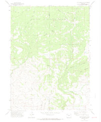
1971 Map of Slide Mountain
USGS Topo · Published 1974About this map
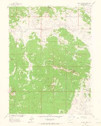
Routt National Forest dominates the high-altitude terrain along the boundary of Moffat and Routt Counties in the early 1970s. The landscape is defined by the high peaks of Slide Mountain, Buck Mountain, and Agner Mountain, which give rise to a network of alpine drainage systems. Water management is a primary theme of this survey, evidenced by the presence of Anderson Reservoir and the elaborate irrigation infrastructure of the Tipton Ditch and multiple segments of the Mc Kinlay Ditch. These man-made channels contrast with the natural flow of Elkhead Creek and the North Fork. The map documents technical infrastructure such as several drill holes and multiple gaging stations along the creek banks, illustrating the active monitoring of this mountain environment's vital resources.
Find a feature on this map
21 named features on this map. Tap any name to fly to it.
Don’t see what you’re looking for? This feature index may not catch every label — zoom into the map to look around manually.
Map Details
Editions of this 1971 Slide Mountain Map
4 editions found
Other maps of this area

1923 · Elkhead Creek
USGS Topo · 1:62,500

1923 · Pilot Knob
USGS Topo · 1:62,500

1924 · Elkhead Creek
USGS Topo · 1:62,500

1925 · Pilot Knob
USGS Topo · 1:62,500

1954 · Craig
USGS Topo · 1:250,000

1957 · Craig
USGS Topo · 1:250,000

1958 · Craig
USGS Topo · 1:250,000

1960 · Craig
USGS Topo · 1:250,000

1962 · Craig
USGS Topo · 1:250,000
1962 · Bears Ears Peaks
USGS Topo · 1:24,000