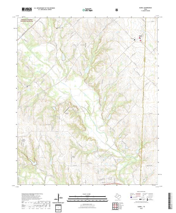
2022 Map of Slidell
USGS Topo · Published 2022About this map
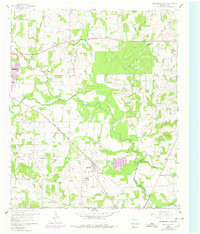
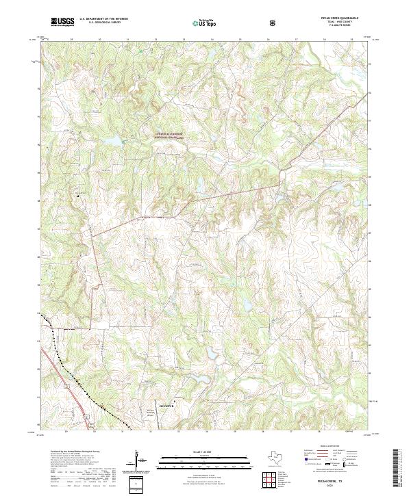
Slidell serves as the primary hub of this north Texas landscape, situated near the boundary between Wise and Denton counties. The terrain is defined by the winding course of Denton Creek and its many tributaries, including N Pecan Cr and Black Cr. This 2022 survey illustrates a pastoral region where large ranching operations and private aviation intersect, evidenced by numerous small landing strips such as Lazy G Bar Ranch Airport and the JBJ Ranch Airport.
Find a feature on this map
81 named features on this map. Tap any name to fly to it.
Don’t see what you’re looking for? This feature index may not catch every label — zoom into the map to look around manually.
Map Details
Editions of this 2022 Slidell Map
This is the sole edition of this map. No revisions or reprints were ever made.
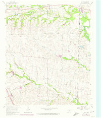
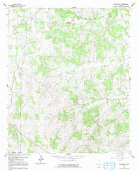
Historical Maps of Allison Through Time
17 maps found
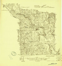
1924 Sunset 4-d
Wise County, TX
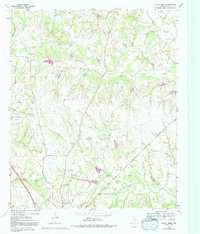
1960 Bluett
Wise County, TX
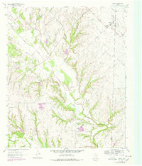
1960 Boonsville
Wise County, TX
1960 Bridgeport East
Wise County, TX
1960 Bridgeport West
Wise County, TX
1960 Cottondale
Wise County, TX
1961 Greenwood
Wise County, TX
1961 Pecan Creek
Wise County, TX
1961 Slidell
Wise County, TX
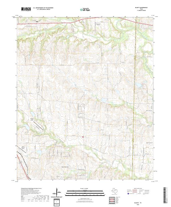
2022 Bluett
Wise County, TX
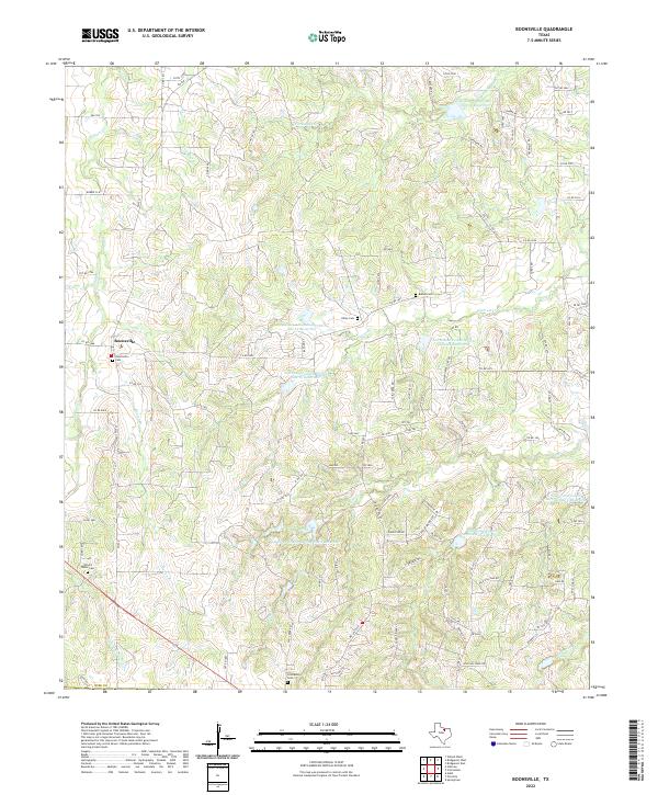
2022 Boonsville
Wise County, TX
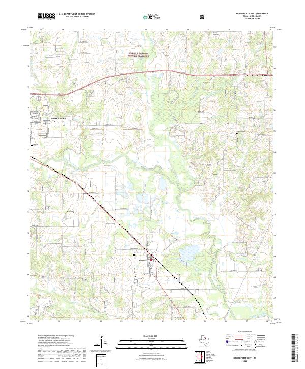
2022 Bridgeport East
Wise County, TX
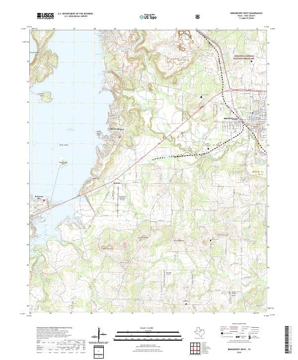
2022 Bridgeport West
Wise County, TX
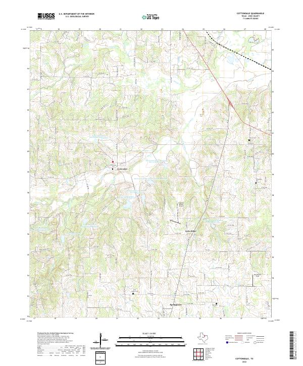
2022 Cottondale
Wise County, TX
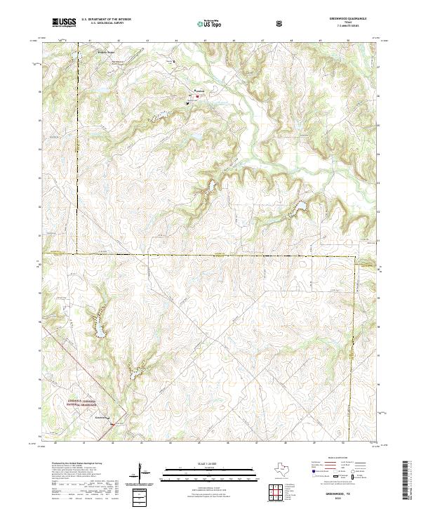
2022 Greenwood
Wise County, TX
2022 Pecan Creek
Wise County, TX
2022 Slidell
Wise County, TX