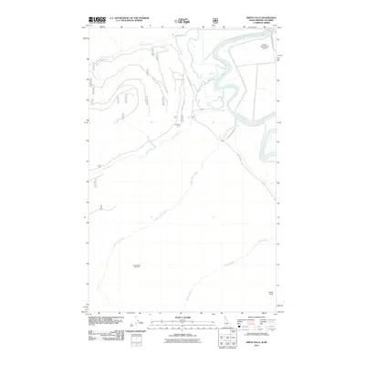
2011 Map of Smith Falls
USGS Topo · Published 2011About this map
The Kootenai River snakes through the northern reaches of this landscape, defining a valley floor where aviation and small settlements meet. Near the river's distinctive bend sits the Eckhart International Airport, a critical transport link for this borderland region. To the west, the terrain rises toward Osburn Vista and the small community of Smith Falls, situated where Smith Creek emerges from the higher elevations.
Find a feature on this map
31 named features on this map. Tap any name to fly to it.
Don’t see what you’re looking for? This feature index may not catch every label — zoom into the map to look around manually.
Map Details
Editions of this 2011 Smith Falls Map
This is the sole edition of this map. No revisions or reprints were ever made.
Other maps of this area

1911 · Priest Lake
USGS Topo · 1:250,000

1913 · Priest Lake
USGS Topo · 1:250,000

1958 · Sandpoint
USGS Topo · 1:250,000

1963 · Sandpoint
USGS Topo · 1:250,000

1965 · Farnham Peak
USGS Topo · 1:24,000

1965 · Copeland
USGS Topo · 1:24,000

1968 · Smith Falls
USGS Topo · 1:24,000

1969 · Pyramid Peak
USGS Topo · 1:24,000
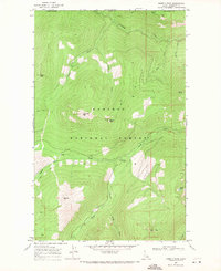
1969 · Shorty Peak
USGS Topo · 1:24,000
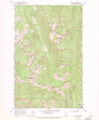
1969 · Smith Peak
USGS Topo · 1:24,000