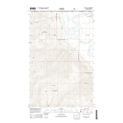
2013 Map of Smith Falls
USGS Topo · Published 2013About this map
Kanisku National Forest dominates the high-elevation terrain of this northern Idaho boundary region, where the Kootenai River snakes through the valley floor. The map highlights a critical international border zone where the United States meet British Columbia. Along the northern edge, infrastructure like the Eckhart International Airport and Tavern Farm Rd serve the rural communities near Osburn Vista. The landscape is defined by its dramatic relief, rising from the river basin to prominent summits like Italian Peak and Eneas Peak. Notable water features such as Smith Falls and the drainage of Long Canyon Cr illustrate the complex hydrology of the Purcell Mountains. Local landmarks like MacDonalds Number 1 and various forest service routes, including Boundary Creek Rd, provide essential points of reference for those navigating this remote backcountry area.
Find a feature on this map
30 named features on this map. Tap any name to fly to it.
Don’t see what you’re looking for? This feature index may not catch every label — zoom into the map to look around manually.
Map Details
Editions of this 2013 Smith Falls Map
This is the sole edition of this map. No revisions or reprints were ever made.
Other maps of this area

1911 · Priest Lake
USGS Topo · 1:250,000

1913 · Priest Lake
USGS Topo · 1:250,000

1958 · Sandpoint
USGS Topo · 1:250,000

1963 · Sandpoint
USGS Topo · 1:250,000

1965 · Farnham Peak
USGS Topo · 1:24,000

1965 · Copeland
USGS Topo · 1:24,000

1968 · Smith Falls
USGS Topo · 1:24,000

1969 · Pyramid Peak
USGS Topo · 1:24,000
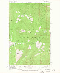
1969 · Shorty Peak
USGS Topo · 1:24,000
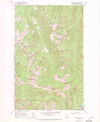
1969 · Smith Peak
USGS Topo · 1:24,000