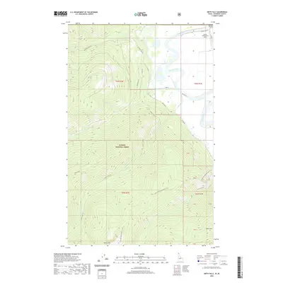
2020 Map of Smith Falls
USGS Topo · Published 2020About this map
The Kootenai River meanders through the northern reaches of this Idaho borderland, defining the transition from the low-lying Purcell Trench to the steep elevations of the Kaniksu National Forest. This modern 2020 landscape illustrates a high-altitude wilderness managed for both recreation and utility, where the Pacific NW National Scenic Trail traverses the ridges above Parker Creek and Long Canyon Creek.
Find a feature on this map
33 named features on this map. Tap any name to fly to it.
Don’t see what you’re looking for? This feature index may not catch every label — zoom into the map to look around manually.
Map Details
Editions of this 2020 Smith Falls Map
This is the sole edition of this map. No revisions or reprints were ever made.
Other maps of this area

1911 · Priest Lake
USGS Topo · 1:250,000

1913 · Priest Lake
USGS Topo · 1:250,000

1958 · Sandpoint
USGS Topo · 1:250,000

1963 · Sandpoint
USGS Topo · 1:250,000

1965 · Farnham Peak
USGS Topo · 1:24,000

1965 · Copeland
USGS Topo · 1:24,000

1968 · Smith Falls
USGS Topo · 1:24,000

1969 · Pyramid Peak
USGS Topo · 1:24,000
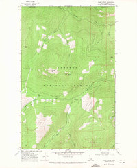
1969 · Shorty Peak
USGS Topo · 1:24,000
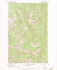
1969 · Smith Peak
USGS Topo · 1:24,000