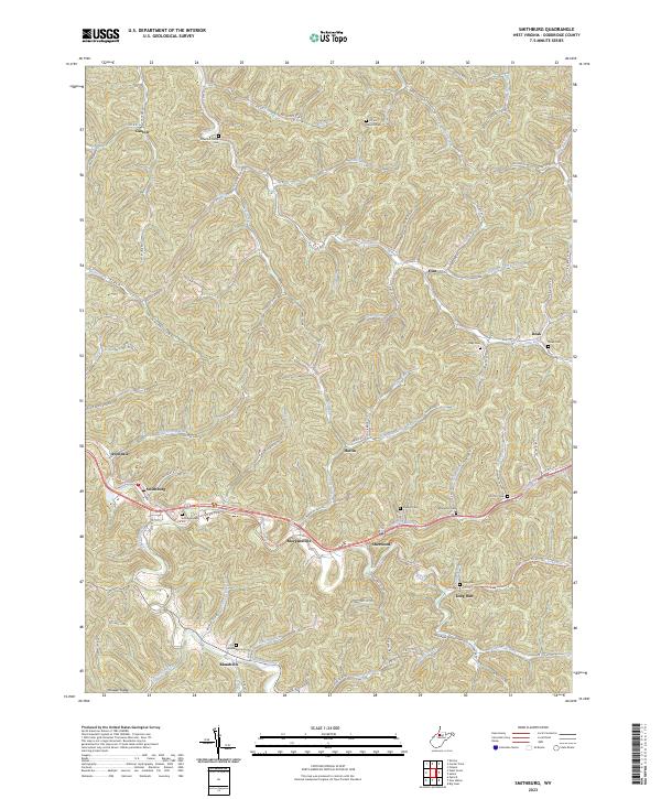
2023 Map of Smithburg
USGS Topo · Published 2023About this map
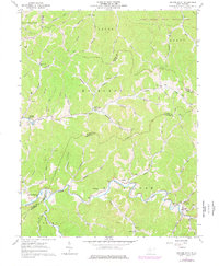
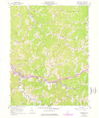
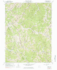
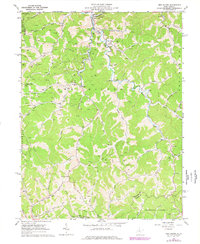
Smithburg and the surrounding hamlets of Doddridge County are defined by a complex network of narrow hollows and high ridges typical of the West Virginia landscape. The drainage system of Middle Island Creek and its many tributaries, such as Buckeye Run and Morgans Run, dictates the settlement patterns, with roads and homes following the winding watercourses. Significant family and community burial sites are scattered throughout these hills, including the Blandville Cem near the southern boundary and the Victory Cem further east, reflecting generations of local residency in small communities like Morgansville and Blandville.
Find a feature on this map
94 named features on this map. Tap any name to fly to it.
Don’t see what you’re looking for? This feature index may not catch every label — zoom into the map to look around manually.
Map Details
Editions of this 2023 Smithburg Map
This is the sole edition of this map. No revisions or reprints were ever made.
Historical Maps of Morgansville Through Time
12 maps found
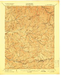
1905 Centerpoint
Doddridge County, WV
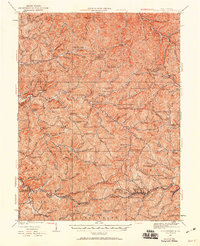
1924 Centerpoint
Doddridge County, WV
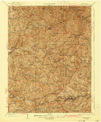
1925 Centerpoint
Doddridge County, WV
1961 Cedar Point
Doddridge County, WV
1961 Smithburg
Doddridge County, WV
1964 Oxford
Doddridge County, WV
1965 New Milton
Doddridge County, WV

1976 Center Point
Doddridge County, WV
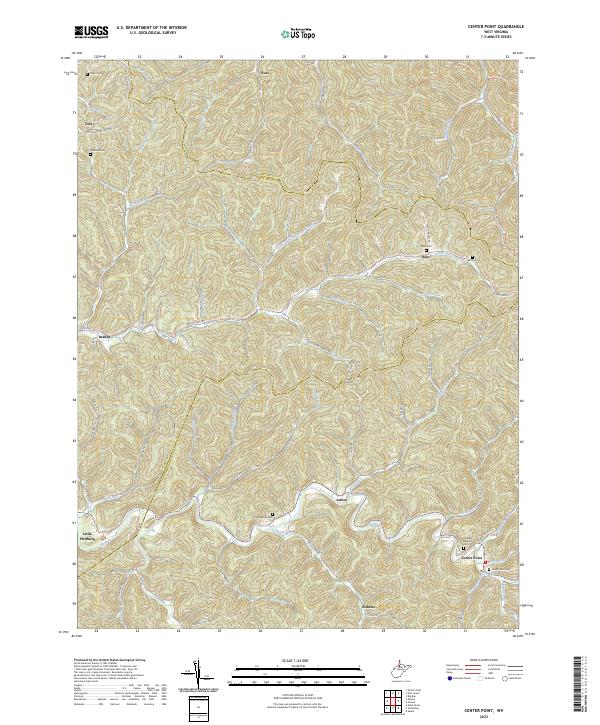
2023 Center Point
Doddridge County, WV
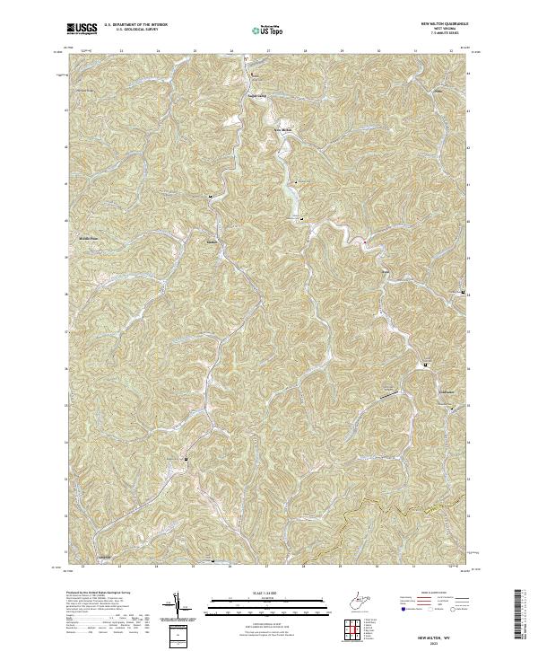
2023 New Milton
Doddridge County, WV
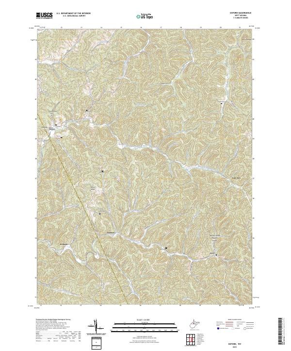
2023 Oxford
Doddridge County, WV
2023 Smithburg
Doddridge County, WV