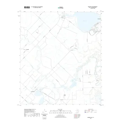
2019 Map of Smithers Lake
USGS Topo · Published 2019About this map
Big Creek winds through the heart of this Fort Bend County landscape, defining the drainage patterns for a region transition from rural agriculture to residential development. The map details the small community of Fairchilds in the west and the settlement of Long Point to the south, connected by a network of farm-to-market roads and rural routes like FM 1994 and Gless Big Creek Rd. The northeastern corner is dominated by the waters of Smithers Lake, while smaller bodies like Lake Paw Paw dot the lowlands. Local history is anchored by the Brown- Beard Cem located near a sharp bend in the creek, and the Flying C Ranch Airport provides a modern aviation landmark amidst the traditional pasture lands. The intricate weave of irrigation and natural waterways, including Fairchilds Creek and Deer Creek, illustrates the hydraulic management necessary for the local landscape.
Find a feature on this map
45 named features on this map. Tap any name to fly to it.
Don’t see what you’re looking for? This feature index may not catch every label — zoom into the map to look around manually.
Map Details
Editions of this 2019 Smithers Lake Map
This is the sole edition of this map. No revisions or reprints were ever made.
Other maps of this area

1950 · Houston
USGS Topo · 1:250,000

1953 · Needville
USGS Topo · 1:24,000

1953 · Guy
USGS Topo · 1:24,000

1953 · Lake George
USGS Topo · 1:24,000

1953 · Damon
USGS Topo · 1:24,000

1953 · Otey
USGS Topo · 1:24,000

1953 · Thompsons
USGS Topo · 1:24,000

1955 · Sugar Land
USGS Topo · 1:62,500

1955 · Richmond
USGS Topo · 1:62,500

1956 · Houston
USGS Topo · 1:250,000