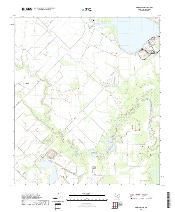
2022 Map of Smithers Lake
USGS Topo · Published 2022About this map
The lowlands of Fort Bend County are defined by a complex network of waterways, where Big Creek and Fairchild Creek wind toward the meandering path of Rabbs Bayou. This landscape is centered on Smithers Lake, a significant water body situated near the settlement of Thompsons in the northeastern corner. The area maintains its agricultural and rural character, evidenced by the scattered small communities of Fairchilds and Long Point.
Find a feature on this map
46 named features on this map. Tap any name to fly to it.
Don’t see what you’re looking for? This feature index may not catch every label — zoom into the map to look around manually.
Map Details
Editions of this 2022 Smithers Lake Map
This is the sole edition of this map. No revisions or reprints were ever made.
Other maps of this area

1950 · Houston
USGS Topo · 1:250,000

1953 · Needville
USGS Topo · 1:24,000

1953 · Guy
USGS Topo · 1:24,000

1953 · Lake George
USGS Topo · 1:24,000

1953 · Damon
USGS Topo · 1:24,000

1953 · Otey
USGS Topo · 1:24,000

1953 · Thompsons
USGS Topo · 1:24,000

1955 · Sugar Land
USGS Topo · 1:62,500

1955 · Richmond
USGS Topo · 1:62,500

1956 · Houston
USGS Topo · 1:250,000