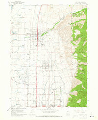
1964 Map of Smithfield
USGS Topo · Published 1973About this map
Agricultural development and early suburban growth characterize the Cache Valley in the mid-1960s, where the Union Pacific railroad and the Logan Northern line corridor serve the settlements of Smithfield and Hyde Park. The landscape is defined by its water resources, with numerous artesian features like Joseph Smith Spring and William Smith Spring dotting the valley floor alongside an extensive irrigation network including the Aqueduct and various canals. This reliance on the water table is evident in the cluster of flowing wells near the Logan-Cache Airport. To the east, the terrain rises sharply into the Cache National Forest, carved by deep drainage systems such as Birch Canyon and Dry Canyon. This interface between the industrial valley floor—home to a Cannery and Gravel Pits—and the steep mountain front illustrates the classic settlement pattern of the region, where communities like North Logan began expanding toward the Utah State University campus.
Find a feature on this map
70 named features on this map. Tap any name to fly to it.
Don’t see what you’re looking for? This feature index may not catch every label — zoom into the map to look around manually.
Map Details
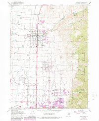
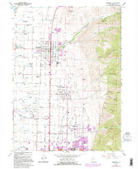
Editions of this 1964 Smithfield Map
4 editions found
Other maps of this area

1914 · Logan
USGS Topo · 1:125,000

1916 · Logan
USGS Topo · 1:125,000

1954 · Ogden
USGS Topo · 1:250,000

1958 · Ogden
USGS Topo · 1:250,000

1960 · Ogden
USGS Topo · 1:250,000

1961 · Logan
USGS Topo · 1:24,000
1962 · Wellsville
USGS Topo · 1:24,000
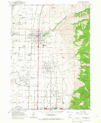
1964 · Smithfield
USGS Topo · 1:24,000
1964 · Richmond
USGS Topo · 1:24,000
1964 · Newton
USGS Topo · 1:24,000