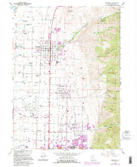
1964 Map of Smithfield
USGS Topo · Published 1995About this map
The agricultural and residential landscape of the Cache Valley is defined by its sophisticated water management system, featuring the Logan Northern Canal and Logan Hyde Park and Smithfield Canal which skirt the base of the mountains. Smithfield and Hyde Park serve as the primary hubs, with smaller communities like Cardon and Greenville punctuating the grid. Numerous artesian and family-named water sources, such as Joseph Smith Spring and Gittins Spring, suggest a deep history of early settlement and irrigation before the consolidation of modern municipal services. To the east, the terrain rises sharply into the Wasatch Cache National Forest, where deep canyons like Birch Canyon and Dry Canyon provide a stark contrast to the valley floor. Educational and infrastructure landmarks including Utah State University and the Logan-Cache Airport indicate the region's mid-century growth as a regional center for education and transportation.
Find a feature on this map
68 named features on this map. Tap any name to fly to it.
Don’t see what you’re looking for? This feature index may not catch every label — zoom into the map to look around manually.
Map Details
Editions of this 1964 Smithfield Map
4 editions found
Other maps of this area

1914 · Logan
USGS Topo · 1:125,000

1916 · Logan
USGS Topo · 1:125,000

1954 · Ogden
USGS Topo · 1:250,000

1958 · Ogden
USGS Topo · 1:250,000

1960 · Ogden
USGS Topo · 1:250,000

1961 · Logan
USGS Topo · 1:24,000
1962 · Wellsville
USGS Topo · 1:24,000
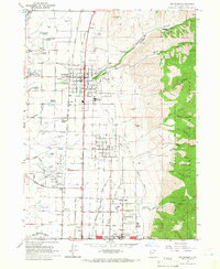
1964 · Smithfield
USGS Topo · 1:24,000
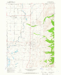
1964 · Richmond
USGS Topo · 1:24,000
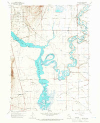
1964 · Newton
USGS Topo · 1:24,000