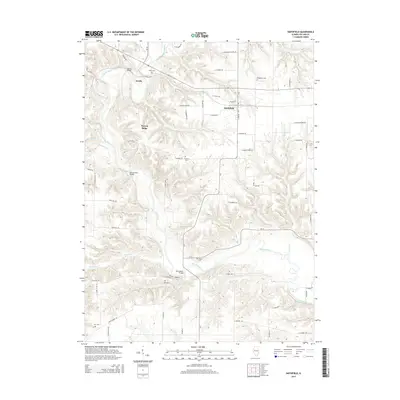
2015 Map of Smithfield
USGS Topo · Published 2015About this map
The Spoon River carves a deep path through Fulton County, Illinois, defining the rural character of this 2015 survey. The village of Smithfield serves as a central point, while the smaller settlement of Seville sits to the northwest along the river banks. This landscape is marked by several crossing points that suggest a long history of river-based transit, including the Seville Bridge, the Tartars Ferry Bridge, and the Bernadotte Bridge.
Find a feature on this map
63 named features on this map. Tap any name to fly to it.
Don’t see what you’re looking for? This feature index may not catch every label — zoom into the map to look around manually.
Map Details
Editions of this 2015 Smithfield Map
This is the sole edition of this map. No revisions or reprints were ever made.
Other maps of this area

1912 · Canton
USGS Topo · 1:62,500

1915 · Avon
USGS Topo · 1:62,500

1918 · Vermont
USGS Topo · 1:62,500

1921 · Vermont
USGS Topo · 1:62,500

1925 · Havana
USGS Topo · 1:62,500

1944 · Avon
USGS Topo · 1:62,500

1947 · Lewistown
USGS Topo · 1:24,000

1947 · Vermont
USGS Topo · 1:24,000

1947 · Adair
USGS Topo · 1:24,000

1948 · Duncan Mills
USGS Topo · 1:24,000