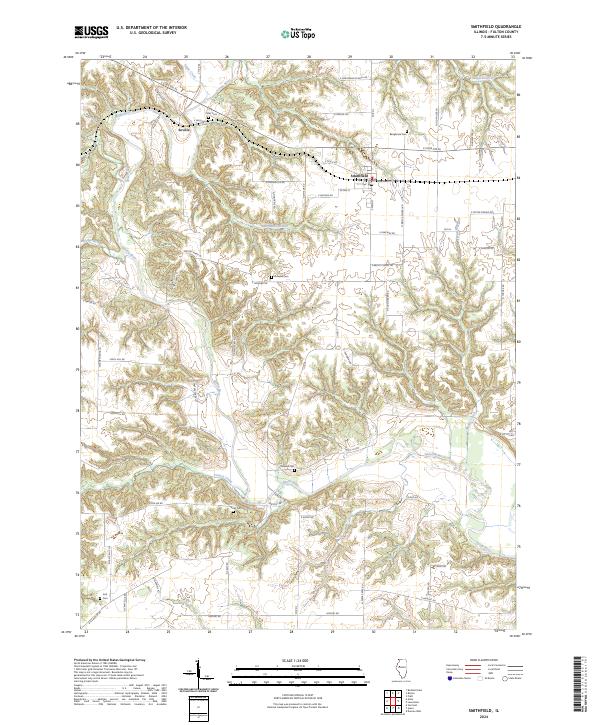
2024 Map of Smithfield
USGS Topo · Published 2024About this map
The Spoon River cuts a deep, winding path through this portion of Fulton County, shaping a landscape defined by sharp ridges and complex drainage systems. The village of Smithfield serves as a local hub along E State Rte 95, where the grid of W Oak St and Railroad St reflects the community's historical orientation toward regional transport. To the west, the smaller settlement of Seville sits near the riverbanks, surrounded by a network of rural roads such as N Seville RD and E Seville RD.
Find a feature on this map
66 named features on this map. Tap any name to fly to it.
Don’t see what you’re looking for? This feature index may not catch every label — zoom into the map to look around manually.
Map Details
Editions of this 2024 Smithfield Map
This is the sole edition of this map. No revisions or reprints were ever made.
Other maps of this area

1912 · Canton
USGS Topo · 1:62,500

1915 · Avon
USGS Topo · 1:62,500

1918 · Vermont
USGS Topo · 1:62,500

1921 · Vermont
USGS Topo · 1:62,500

1925 · Havana
USGS Topo · 1:62,500

1944 · Avon
USGS Topo · 1:62,500

1947 · Lewistown
USGS Topo · 1:24,000

1947 · Vermont
USGS Topo · 1:24,000

1947 · Adair
USGS Topo · 1:24,000

1948 · Duncan Mills
USGS Topo · 1:24,000