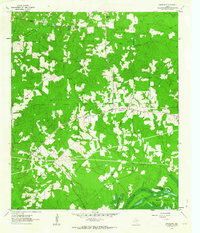
1962 Map of Smithland
USGS Topo · Published 1963About this map
Smithland serves as the primary hub in this corner of Marion County, defined by a landscape where upland forests meet the wetlands of the Big Cypress Bayou system. The settlement pattern is characterized by numerous rural congregations and family burial grounds, such as Logan Chapel, Savannah Ch, and Rand Cem, which are scattered throughout the wooded terrain. These features suggest a long-established community structure that predates the mid-century industrial developments visible on the map.
Find a feature on this map
26 named features on this map. Tap any name to fly to it.
Don’t see what you’re looking for? This feature index may not catch every label — zoom into the map to look around manually.
Map Details
Editions of this 1962 Smithland Map
3 editions found
Other maps of this area

1944 · Kildare
USGS Topo · 1:62,500

1944 · Caddo Lake
USGS Topo · 1:62,500

1946 · Caddo Lake
USGS Topo · 1:62,500

1948 · Kildare
USGS Topo · 1:62,500

1956 · Tyler
USGS Topo · 1:250,000
1962 · McLeod
USGS Topo · 1:24,000

1962 · Lanier
USGS Topo · 1:24,000
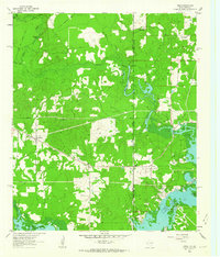
1962 · Trees
USGS Topo · 1:24,000

1962 · Woodlawn
USGS Topo · 1:24,000
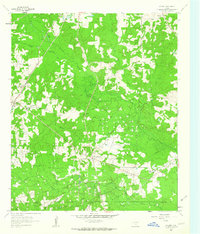
1962 · Kildare
USGS Topo · 1:24,000