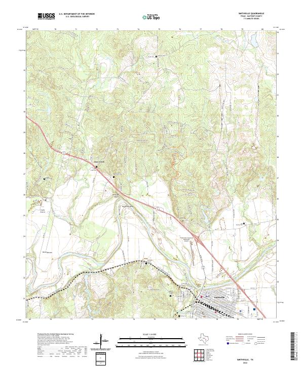
2022 Map of Smithville
USGS Topo · Published 2022About this map
The Colorado River carves a deep path through this part of Bastrop County, shaping the landscape near Smithville. The river's influence is evident in named landforms like Hardeman Bend, Kennedy Bluffs, and David Bottom. The settlement pattern reflects a mix of established town life and rural history, with Smithville serving as the primary hub, complemented by smaller clusters at Alum Creek and Crafts Prairie. The area is particularly rich in genealogical sites, including the Burleson Burial Ground, Adams Morris Thompson Cem, and Claiborne Cem, which provide a localized record of early residency in the river valley.
Find a feature on this map
139 named features on this map. Tap any name to fly to it.
Don’t see what you’re looking for? This feature index may not catch every label — zoom into the map to look around manually.
Map Details
Editions of this 2022 Smithville Map
This is the sole edition of this map. No revisions or reprints were ever made.
Other maps of this area

1885 · Bastrop
USGS Topo · 1:125,000

1893 · Bastrop
USGS Topo · 1:125,000

1901 · Flatonia
USGS Topo · 1:125,000

1904 · Bastrop
USGS Topo · 1:125,000

1948 · Smithville
USGS Topo · 1:62,500

1948 · Bastrop
USGS Topo · 1:62,500

1950 · Bastrop
USGS Topo · 1:62,500

1950 · Smithville
USGS Topo · 1:62,500

1953 · Seguin
USGS Topo · 1:250,000

1954 · Austin
USGS Topo · 1:250,000