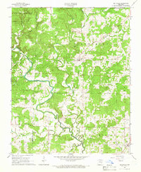
1965 Map of Smithville
USGS Topo · Published 1966About this map
Strawberry River snakes through this rural stretch of Sharp and Lawrence Counties, defining the drainage patterns for the surrounding townships of South Lebanon, Strawberry, Eaton, and Morgan. The settlement of Smithville serves as a central hub in the mid-1960s, surrounded by a landscape carved by numerous waterways including Cooper Creek, Machine Creek, and Dogwood Branch. Local genealogy is well-documented through several family and community burial sites, such as Townsend Cem, Bratcher Cem, Hillhouse Cem, and Massey Cem.
Find a feature on this map
26 named features on this map. Tap any name to fly to it.
Don’t see what you’re looking for? This feature index may not catch every label — zoom into the map to look around manually.
Map Details
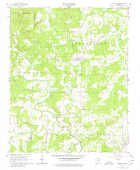
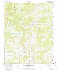
Editions of this 1965 Smithville Map
3 editions found
Other maps of this area

1932 · Strawberry
USGS Topo · 1:62,500

1934 · Powhatan
USGS Topo · 1:62,500

1935 · Powhatan
USGS Topo · 1:62,500

1935 · Alicia
USGS Topo · 1:62,500

1935 · Strawberry
USGS Topo · 1:62,500

1941 · Strawberry
USGS Topo · 1:62,500

1953 · Memphis
USGS Topo · 1:250,000

1955 · Strawberry
USGS Topo · 1:24,000

1956 · Memphis
USGS Topo · 1:250,000

1957 · Poplar Bluff
USGS Topo · 1:250,000