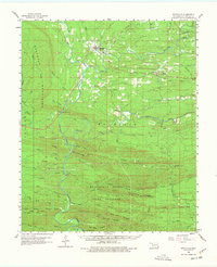
1960 Map of Smithville
USGS Topo · Published 1978About this map
Mc Curtain County Game Preserve dominates the southern landscape of this 1960s study, preserving a significant tract of forest within the Pine Mountains. The topography is defined by the winding course of the Mountain Fork, which carves through the terrain past a distinctive geological constriction known as The Narrows. Small communities like Smithville and Watson serve as the primary human centers, connected by a network of rural roads that bypass the steeper slopes of the Boktuklo Mountains.
Find a feature on this map
69 named features on this map. Tap any name to fly to it.
Don’t see what you’re looking for? This feature index may not catch every label — zoom into the map to look around manually.
Map Details
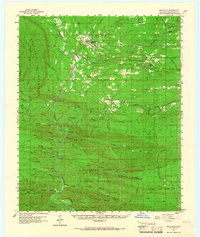
Editions of this 1960 Smithville Map
3 editions found

Other maps of this area

1890 · Poteau Mountain
USGS Topo · 1:125,000

1899 · Poteau Mountain
USGS Topo · 1:125,000

1900 · Winding Stair
USGS Topo · 1:125,000

1902 · Lukfata
USGS Topo · 1:125,000

1909 · Winding Stair
USGS Topo · 1:125,000

1913 · De Queen
USGS Topo · 1:125,000

1950 · Mcalester
USGS Topo · 1:250,000

1958 · Potter
USGS Topo · 1:62,500

1958 · Zafra
USGS Topo · 1:24,000

1959 · Page
USGS Topo · 1:62,500