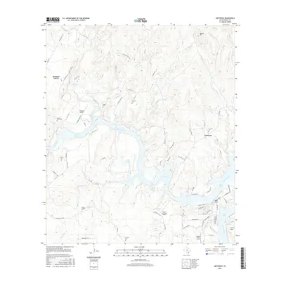
2016 Map of Smithwick
USGS Topo · Published 2016About this map
Lake Travis and the winding Colorado River dominate this Central Texas landscape, where rugged drainages like Double-Horn Cr and Sycamore Cr cut through the limestone terrain. The map captures a high degree of genealogical detail, preserving the locations of numerous family and community burial grounds including Smithwick Cem, Richter Cem, and the Burnam - Smithart Cem. These sites, along with named water sources like Proffitt Spring and Burnam Spring, reflect a history of rural settlement that predates the modern recreational developments found at Eagle Bluffs.
Find a feature on this map
86 named features on this map. Tap any name to fly to it.
Don’t see what you’re looking for? This feature index may not catch every label — zoom into the map to look around manually.
Map Details
Editions of this 2016 Smithwick Map
This is the sole edition of this map. No revisions or reprints were ever made.
Other maps of this area

1887 · Blanco
USGS Topo · 1:125,000

1887 · Burnet
USGS Topo · 1:125,000

1893 · Burnet
USGS Topo · 1:125,000

1894 · Blanco
USGS Topo · 1:125,000

1903 · Burnet
USGS Topo · 1:125,000

1909 · Burnet
USGS Topo · 1:125,000

1925 · Burnet 3-d
USGS Topo · 1:48,000

1929 · Marble Falls
USGS Topo · 1:62,500

1930 · Blanco-1
USGS Topo · 1:48,000

1932 · Marble Falls
USGS Topo · 1:62,500