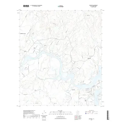
2019 Map of Smithwick
USGS Topo · Published 2019About this map
Colorado River winds through this Burnet County landscape, serving as the central axis for a series of settlements and rural cemeteries. The area around Smithwick and Eagle Bluffs shows a mix of river-influenced geography and established landholdings. To the west, the outskirts of Marble Falls begin to appear, while the interior is defined by rugged drainage systems like Sycamore Cr and Double Horn Cr.
Find a feature on this map
87 named features on this map. Tap any name to fly to it.
Don’t see what you’re looking for? This feature index may not catch every label — zoom into the map to look around manually.
Map Details
Editions of this 2019 Smithwick Map
This is the sole edition of this map. No revisions or reprints were ever made.
Other maps of this area

1887 · Blanco
USGS Topo · 1:125,000

1887 · Burnet
USGS Topo · 1:125,000

1893 · Burnet
USGS Topo · 1:125,000

1894 · Blanco
USGS Topo · 1:125,000

1903 · Burnet
USGS Topo · 1:125,000

1909 · Burnet
USGS Topo · 1:125,000

1925 · Burnet 3-d
USGS Topo · 1:48,000

1929 · Marble Falls
USGS Topo · 1:62,500

1930 · Blanco-1
USGS Topo · 1:48,000

1932 · Marble Falls
USGS Topo · 1:62,500