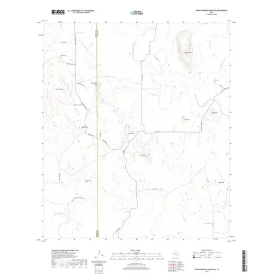
2019 Map of Smoothingiron Mountain
USGS Topo · Published 2019About this map
Smoothingiron Mountain dominates the landscape along the western edge of the Llano Uplift, marking a region defined by high peaks and drainage networks. The terrain transitions from the broken ground of Eckert Roughs in the west toward the various summits of Turkeyroost Mountain, Bodie Peak, and Kings Mountain. These elevations steer the course of local waterways like San Fernando Creek and Field Creek as they cut through the granite and gneiss of the Texas Hill Country.
Find a feature on this map
38 named features on this map. Tap any name to fly to it.
Don’t see what you’re looking for? This feature index may not catch every label — zoom into the map to look around manually.
Map Details
Editions of this 2019 Smoothingiron Mountain Map
This is the sole edition of this map. No revisions or reprints were ever made.
Other maps of this area

1887 · Llano
USGS Topo · 1:125,000

1887 · Mason
USGS Topo · 1:125,000

1894 · Mason
USGS Topo · 1:125,000

1894 · Llano
USGS Topo · 1:125,000

1904 · Llano
USGS Topo · 1:125,000

1909 · Llano
USGS Topo · 1:125,000

1918 · Llano
USGS Topo · 1:125,000

1954 · Llano
USGS Topo · 1:250,000

1955 · Llano
USGS Topo · 1:250,000
1955 · Magill Mountain
USGS Topo · 1:24,000