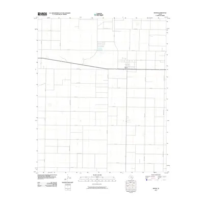
2010 Map of Smyer
USGS Topo · Published 2010About this map
Smyer serves as the central hub of this agricultural landscape in Hockley County, situated along a primary east-west corridor. The surrounding Llano Estacado terrain is defined by a rigid grid of rural roads, many of which bear distinct animal-themed names such as Bear Rd, Coyote Rd, and Filly Rd. This naming convention extends to avian-inspired routes like Hummingbird Rd and Nightingale Rd, suggesting a systematic approach to rural navigation. The northern portion of the quadrangle includes Spade Farms Rd, likely reflecting the region's ranching and farming heritage. This 2010 survey illustrates the intersection of small-town life and the expansive, organized infrastructure required to support the local agrarian economy during the early 21st century.
Find a feature on this map
25 named features on this map. Tap any name to fly to it.
Don’t see what you’re looking for? This feature index may not catch every label — zoom into the map to look around manually.
Map Details
Editions of this 2010 Smyer Map
This is the sole edition of this map. No revisions or reprints were ever made.
Other maps of this area

1954 · Brownfield
USGS Topo · 1:250,000

1957 · Meadow
USGS Topo · 1:62,500

1957 · Wolfforth
USGS Topo · 1:62,500

1958 · Brownfield
USGS Topo · 1:250,000

1962 · Brownfield
USGS Topo · 1:250,000

1964 · Whitharral
USGS Topo · 1:24,000

1965 · Levelland East
USGS Topo · 1:24,000

1965 · Lockettville
USGS Topo · 1:24,000
1976 · Wolfforth NW
USGS Topo · 1:24,000

1976 · Wolfforth SE
USGS Topo · 1:24,000