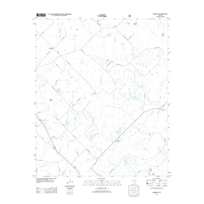
2013 Map of Smyrna
USGS Topo · Published 2013About this map
Smyrna anchors this part of Montague County, where a network of rural roads and seasonal creek beds defines the local geography. The area's history is preserved in several family and community burial grounds, including Huddleston Cem and Fryer Cem in the north, and Pella Cem and Ball Knob Cem to the south. The landscape is carved by numerous waterways like Big Sandy Cr, Grapevine Cr, and Brushy Cr, which cut through distinctive terrain features such as Cattail Hollow and Pitman Hollow.
Find a feature on this map
58 named features on this map. Tap any name to fly to it.
Don’t see what you’re looking for? This feature index may not catch every label — zoom into the map to look around manually.
Map Details
Editions of this 2013 Smyrna Map
This is the sole edition of this map. No revisions or reprints were ever made.
Other maps of this area

1905 · Montague
USGS Topo · 1:125,000

1954 · Sherman
USGS Topo · 1:250,000

1958 · Sherman
USGS Topo · 1:250,000

1961 · Pecan Creek
USGS Topo · 1:24,000

1961 · Salona
USGS Topo · 1:24,000

1961 · Alvord
USGS Topo · 1:24,000

1961 · New Harp
USGS Topo · 1:24,000

1961 · Sunset
USGS Topo · 1:24,000
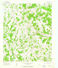
1961 · Smyrna
USGS Topo · 1:24,000

1961 · Bowie
USGS Topo · 1:24,000