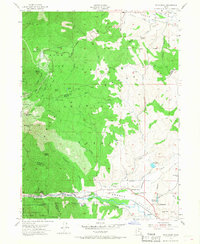
1955 Map of Snow Basin
USGS Topo · Published 1968About this map
Mountain Green and Peterson sit within the lower elevations of the Weber River valley, serving as key points of transition between the river's path and the high alpine bowls of the Wasatch National Forest. The landscape is defined by the sharp verticality of the mountain peaks, where the Snow Basin area is already established with a Ski Jump, Ski Tow, and Shelter infrastructure. This mid-century survey captures the region's dual identity as both a developing recreational hub and a vital transportation corridor.
Find a feature on this map
72 named features on this map. Tap any name to fly to it.
Don’t see what you’re looking for? This feature index may not catch every label — zoom into the map to look around manually.
Map Details
Editions of this 1955 Snow Basin Map
3 editions found
Other maps of this area

1954 · Ogden
USGS Topo · 1:250,000

1955 · Ogden
USGS Topo · 1:24,000

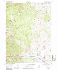
1955 · Peterson
USGS Topo · 1:24,000

1955 · Huntsville
USGS Topo · 1:24,000

1955 · North Ogden
USGS Topo · 1:24,000

1955 · Kaysville
USGS Topo · 1:24,000

1955 · Snow Basin
USGS Topo · 1:24,000

1958 · Ogden
USGS Topo · 1:250,000

1960 · Ogden
USGS Topo · 1:250,000
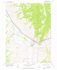
1961 · Morgan
USGS Topo · 1:24,000