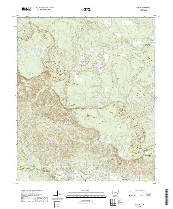
2024 Map of Snow Hill
USGS Topo · Published 2024About this map
The Ouachita River carves a winding path across the landscape, defining the jagged boundary between Calhoun and Ouachita Counties. This fluvial environment is characterized by a dense network of named shoals and cutoff lakes, reflecting the dynamic nature of the river system over time. Navigational points such as Blue Beach Shoals, Spoon Camp Shoals, and English Bee Shoal serve as historical landmarks for river traffic, while landforms like Millers Bluff overlook the bottomlands.
Find a feature on this map
53 named features on this map. Tap any name to fly to it.
Don’t see what you’re looking for? This feature index may not catch every label — zoom into the map to look around manually.
Map Details
Editions of this 2024 Snow Hill Map
This is the sole edition of this map. No revisions or reprints were ever made.
Other maps of this area

1903 · Camden
USGS Topo · 1:125,000

1951 · Camden
USGS Topo · 1:24,000

1953 · El Dorado
USGS Topo · 1:250,000

1957 · El Dorado
USGS Topo · 1:250,000

1958 · El Dorado
USGS Topo · 1:250,000

1960 · El Dorado
USGS Topo · 1:250,000

1962 · Lisbon
USGS Topo · 1:24,000

1962 · Louann
USGS Topo · 1:24,000

1962 · Smackover NE
USGS Topo · 1:24,000

1962 · Smackover
USGS Topo · 1:24,000