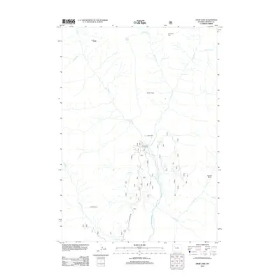
2012 Map of Snow Lake
USGS Topo · Published 2012About this map
Double Cabin serves as a central landmark in this high-altitude landscape of Fremont County, where the Wiggins Fork river system carves through a network of peaks and drainage basins. The area's topography is defined by prominent elevations such as Coffman Butte, Norton Point, and Crescent Top, which overlook a series of alpine waters including Snow Lake and Elk Lake. Access to this remote region is facilitated by Horse Creek Rd, which leads toward the Double Cabin Campground, a primary point of human activity amidst the expansive terrain of the Caldwell Basin. The drainage pattern is complex, with numerous tributaries like Frontier Cr, Snow Lake Cr, and Caldwell Cr feeding into the main forks, reflecting the hydrological importance of this high-country environment in the early 21st century.
Find a feature on this map
19 named features on this map. Tap any name to fly to it.
Don’t see what you’re looking for? This feature index may not catch every label — zoom into the map to look around manually.
Map Details
Editions of this 2012 Snow Lake Map
This is the sole edition of this map. No revisions or reprints were ever made.
Other maps of this area

1904 · Kirwin
USGS Topo · 1:125,000

1905 · Younts Peak
USGS Topo · 1:125,000

1906 · Kirwin
USGS Topo · 1:125,000

1907 · Younts Peak
USGS Topo · 1:125,000

1955 · Thermopolis
USGS Topo · 1:250,000

1956 · Indian Point
USGS Topo · 1:24,000

1956 · Ramshorn Peak
USGS Topo · 1:24,000

1956 · Snow Lake
USGS Topo · 1:24,000

1956 · Five Pockets
USGS Topo · 1:24,000

1956 · Emerald Lake
USGS Topo · 1:24,000