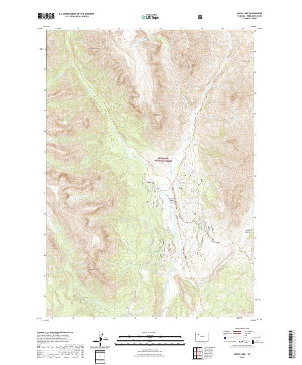
2021 Map of Snow Lake
USGS Topo · Published 2021About this map
The high alpine terrain of the Absaroka Range dominates this portion of the Shoshone National Forest, where a network of trails provides the only human imprint on a landscape of deep canyons and prominent peaks. The drainage of Wiggins Fork serves as a central artery for the region, joined by tributaries such as Snow Lake Cr and Bug Creek. This 2021 survey illustrates the topographical complexity between Coffman Butte in the north and Lincoln Point further south, mapping the precise routes of the Wiggins Fork Trl and Frontier Creek Trl. High-altitude water bodies like Snow Lake and Elk Lake are situated near dramatic overlooks like Norton Point and Crescent Top, highlighting a wilderness area shaped by glacial action and erosion within the Caldwell Basin.
Find a feature on this map
26 named features on this map. Tap any name to fly to it.
Don’t see what you’re looking for? This feature index may not catch every label — zoom into the map to look around manually.
Map Details
Editions of this 2021 Snow Lake Map
This is the sole edition of this map. No revisions or reprints were ever made.
Other maps of this area

1904 · Kirwin
USGS Topo · 1:125,000

1905 · Younts Peak
USGS Topo · 1:125,000

1906 · Kirwin
USGS Topo · 1:125,000

1907 · Younts Peak
USGS Topo · 1:125,000

1955 · Thermopolis
USGS Topo · 1:250,000

1956 · Indian Point
USGS Topo · 1:24,000

1956 · Ramshorn Peak
USGS Topo · 1:24,000

1956 · Snow Lake
USGS Topo · 1:24,000

1956 · Five Pockets
USGS Topo · 1:24,000

1956 · Emerald Lake
USGS Topo · 1:24,000