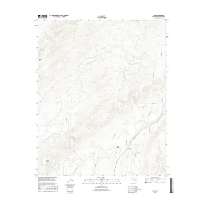
2016 Map of Snow
USGS Topo · Published 2016About this map
Snow and the nearby Snow Valley define the human footprint in this corner of Pushmataha County, Oklahoma. The settlement pattern is largely dictated by the complex drainage system of the Kiamichi Mountains foothills, where numerous named waterways like Cedar Creek, Snow Creek, and Caney Creek have carved distinct paths through the elevation. The terrain is marked by significant features such as Dunbar Mountain and Tucker Hollow, which direct the flow of small rural routes like Ridge Road and Joslin Valley Road. This 2016 survey illustrates how modern county roads continue to follow the natural contours established by these watercourses, with the primary highway corridor bisecting the landscape near the confluence of Turkey Creek and the West Fork.
Find a feature on this map
30 named features on this map. Tap any name to fly to it.
Don’t see what you’re looking for? This feature index may not catch every label — zoom into the map to look around manually.
Map Details
Editions of this 2016 Snow Map
This is the sole edition of this map. No revisions or reprints were ever made.
Other maps of this area

1898 · McAlester
USGS Topo · 1:125,000

1901 · Antlers
USGS Topo · 1:125,000

1901 · Tuskahoma
USGS Topo · 1:125,000

1901 · Alikchi
USGS Topo · 1:125,000

1908 · Tuskahoma
USGS Topo · 1:125,000

1909 · Mc Alester
USGS Topo · 1:125,000

1909 · Tuskahoma
USGS Topo · 1:125,000

1912 · Antlers
USGS Topo · 1:125,000

1925 · Antlers
USGS Topo · 1:125,000

1950 · Mcalester
USGS Topo · 1:250,000