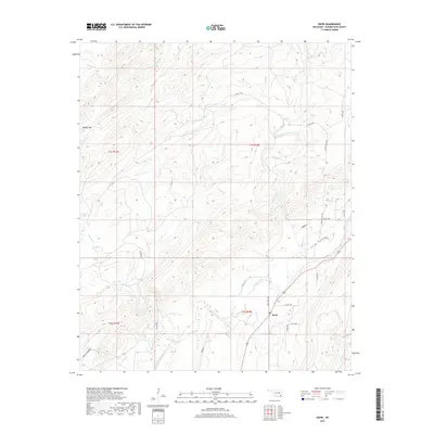
2019 Map of Snow
USGS Topo · Published 2019About this map
Snow remains a small focal point in this portion of the Ouachita Mountains, situated where the terrain transitions from the heights of Dunbar Mtn toward the more level reaches of Snow Valley. The landscape is defined by an intricate drainage system, with the W Fork and Caney Creek carving through the ridgelines. Local transport is dictated by the geography, with routes like Snow Creek Rd and Joslin Valley Rd following the natural contours of the valleys. This 2019 survey shows how the area's rural character is preserved through its network of county roads and named water bodies such as Turkey Cr and Cedar Creek. The presence of Tucker Hollow and various forks of the Snow Cr system illustrates the topographic complexity that has influenced settlement patterns in this part of Pushmataha County for generations.
Find a feature on this map
34 named features on this map. Tap any name to fly to it.
Don’t see what you’re looking for? This feature index may not catch every label — zoom into the map to look around manually.
Map Details
Editions of this 2019 Snow Map
This is the sole edition of this map. No revisions or reprints were ever made.
Other maps of this area

1898 · McAlester
USGS Topo · 1:125,000

1901 · Antlers
USGS Topo · 1:125,000

1901 · Tuskahoma
USGS Topo · 1:125,000

1901 · Alikchi
USGS Topo · 1:125,000

1908 · Tuskahoma
USGS Topo · 1:125,000

1909 · Mc Alester
USGS Topo · 1:125,000

1909 · Tuskahoma
USGS Topo · 1:125,000

1912 · Antlers
USGS Topo · 1:125,000

1925 · Antlers
USGS Topo · 1:125,000

1950 · Mcalester
USGS Topo · 1:250,000