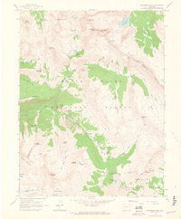
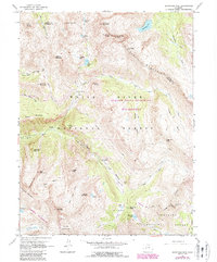
1960 Map of Snowmass Mountain
USGS Topo · Published 1964About this map
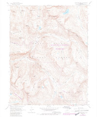
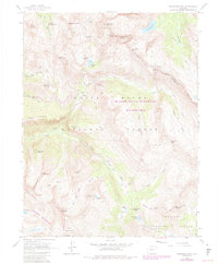
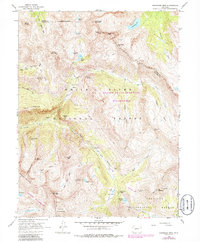
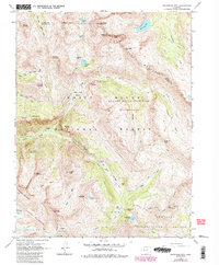
Schofield (Site) sits at the confluence of the South Fork and Rock Creek, marking the remains of a 19th-century mining camp high in the Elk Mountains. This 1960 field-checked survey captures the intricate trail network and high-altitude mineral extraction sites across the White River National Forest and Gunnison National Forest. The landscape is dominated by massive peaks like Snowmass Mountain and Hagerman Peak, which tower over alpine waters such as Snowmass Lake and Geneva Lake.
Find a feature on this map
59 named features on this map. Tap any name to fly to it.
Don’t see what you’re looking for? This feature index may not catch every label — zoom into the map to look around manually.
Map Details
Editions of this 1960 Snowmass Mountain Map
9 editions found
Other maps of this area

1888 · Crested Butte
USGS Topo · 1:62,500

1888 · Anthracite
USGS Topo · 1:62,500

1889 · Crested Butte
USGS Topo · 1:62,500

1889 · Anthracite
USGS Topo · 1:62,500

1893 · Anthracite
USGS Topo · 1:62,500

1893 · Crested Butte
USGS Topo · 1:62,500

1893 · Aspen
USGS Topo · 1:62,500

1894 · Anthracite
USGS Topo · 1:62,500

1895 · Aspen
USGS Topo · 1:62,500

1909 · Mount Jackson
USGS Topo · 1:125,000