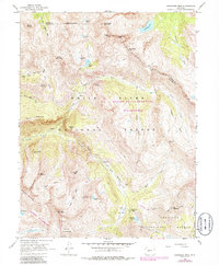
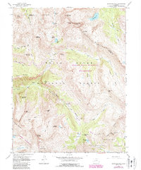
1960 Map of Snowmass Mtn
USGS Topo · Published 1986About this map
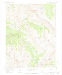
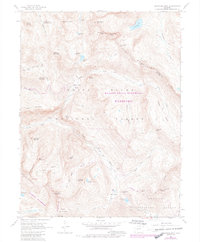
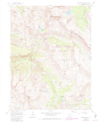
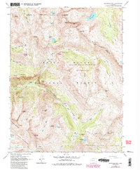
Elk Mountains peaks and high-altitude mining sites dominate this landscape at the intersection of the White River National Forest and Gunnison National Forest. The settlement at Crystal and the Schofield (Site) represent the area's late 19th-century mining heritage, connected by a network of pack trails and early jeep roads. Industry is etched into the high basins through the Batoni Mine and Silver Spruce Mine, while the natural topography is defined by the North Fork Crystal River and the stark elevation of Snowmass Mountain. These 1960 records, updated with aerial data through 1982, illustrate the transition of the region from active resource extraction toward protected wilderness, evidenced by the designation of the Maroon Bells-Snowmass Wilderness and the Raggeds Wilderness. The map provides a precise account of the alpine hydrology, from Geneva Lake to the headwaters of the East River.
Find a feature on this map
58 named features on this map. Tap any name to fly to it.
Don’t see what you’re looking for? This feature index may not catch every label — zoom into the map to look around manually.
Map Details
Editions of this 1960 Snowmass Mtn Map
9 editions found
Other maps of this area

1888 · Crested Butte
USGS Topo · 1:62,500

1888 · Anthracite
USGS Topo · 1:62,500

1889 · Crested Butte
USGS Topo · 1:62,500

1889 · Anthracite
USGS Topo · 1:62,500

1893 · Anthracite
USGS Topo · 1:62,500

1893 · Crested Butte
USGS Topo · 1:62,500

1893 · Aspen
USGS Topo · 1:62,500

1894 · Anthracite
USGS Topo · 1:62,500

1895 · Aspen
USGS Topo · 1:62,500

1909 · Mount Jackson
USGS Topo · 1:125,000