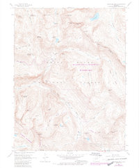
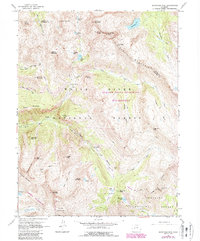
1960 Map of Snowmass Mountain
USGS Topo · Published 1984About this map
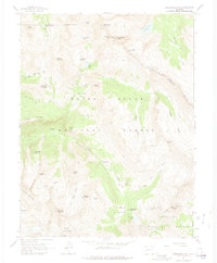
Schofield marks a significant historic location near the headwaters of the Crystal River, where the high-altitude landscape of the Elk Mountains meets early industrial aspirations. This 1960 survey, revised in 1982, reveals a terrain defined by mining remnants and demanding pack trails. Along the steep drainages of Canyon Creek and Rustler Gulch, the map identifies the Baron Mine and Silver Spruce Mine, evidence of the silver and lead extraction that once drove settlement in this corner of Gunnison National Forest.
Find a feature on this map
54 named features on this map. Tap any name to fly to it.
Don’t see what you’re looking for? This feature index may not catch every label — zoom into the map to look around manually.
Map Details
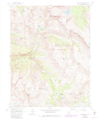
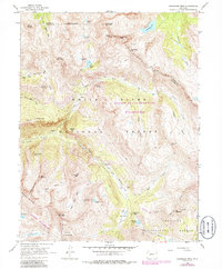
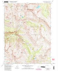
Editions of this 1960 Snowmass Mountain Map
9 editions found
Other maps of this area

1888 · Crested Butte
USGS Topo · 1:62,500

1888 · Anthracite
USGS Topo · 1:62,500

1889 · Crested Butte
USGS Topo · 1:62,500

1889 · Anthracite
USGS Topo · 1:62,500

1893 · Anthracite
USGS Topo · 1:62,500

1893 · Crested Butte
USGS Topo · 1:62,500

1893 · Aspen
USGS Topo · 1:62,500

1894 · Anthracite
USGS Topo · 1:62,500

1895 · Aspen
USGS Topo · 1:62,500

1909 · Mount Jackson
USGS Topo · 1:125,000