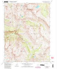
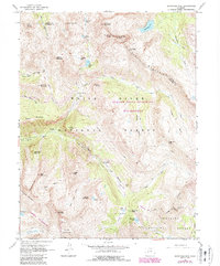
1960 Map of Snowmass Mtn
USGS Topo · Published 1988About this map
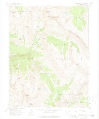
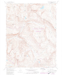
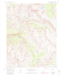
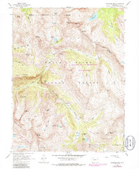
Schofield (Site) sits at the head of Schofield Canyon, serving as a silent reminder of the mining activity that once defined this high-altitude landscape in the Elk Mountains. This 1960 survey, updated with 1980s data, details a region of dramatic verticality where the White River National Forest meets the Gunnison National Forest. The map traces the remnants of industry through the Baroni Mine and Silver Spruce Mine, while the transition toward wilderness is evident in the established boundaries of the Maroon Bells-Snowmass Wilderness. Hydrological networks are prominently featured, from the high Siberia Lake and Snowmass Lake to the headwaters of the Crystal River. A complex system of paths, including the Trail Rider Pass and numerous unnamed Pack Trails, provides the only access through the basin-and-peak terrain that separates Elko Park from the surrounding massifs.
Find a feature on this map
56 named features on this map. Tap any name to fly to it.
Don’t see what you’re looking for? This feature index may not catch every label — zoom into the map to look around manually.
Map Details
Editions of this 1960 Snowmass Mtn Map
9 editions found
Other maps of this area

1888 · Crested Butte
USGS Topo · 1:62,500

1888 · Anthracite
USGS Topo · 1:62,500

1889 · Crested Butte
USGS Topo · 1:62,500

1889 · Anthracite
USGS Topo · 1:62,500

1893 · Anthracite
USGS Topo · 1:62,500

1893 · Crested Butte
USGS Topo · 1:62,500

1893 · Aspen
USGS Topo · 1:62,500

1894 · Anthracite
USGS Topo · 1:62,500

1895 · Aspen
USGS Topo · 1:62,500

1909 · Mount Jackson
USGS Topo · 1:125,000