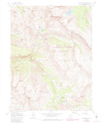
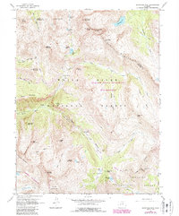
1960 Map of Snowmass Mountain
USGS Topo · Published 1984About this map
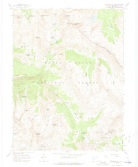
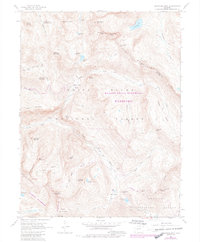
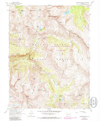
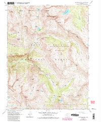
High mountain terrain in the Elk Mountains defines this 1960 survey, later revised to show the establishment of the Maroon Bells-Snowmass Wilderness. The landscape is dominated by glacial features and high-altitude mining remnants, most notably at the Schofield (Site) near the confluence of the South Fork Crystal River and the East Fork River. This former townsite sits at the base of Schofield Pass, a critical early crossing point for prospectors moving between the Crystal River valley and the high basins to the south.
Find a feature on this map
61 named features on this map. Tap any name to fly to it.
Don’t see what you’re looking for? This feature index may not catch every label — zoom into the map to look around manually.
Map Details
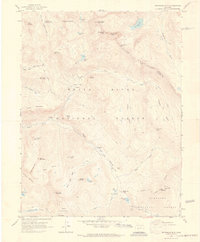
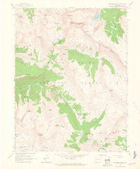
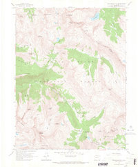
Editions of this 1960 Snowmass Mountain Map
9 editions found
Other maps of this area

1888 · Crested Butte
USGS Topo · 1:62,500

1888 · Anthracite
USGS Topo · 1:62,500

1889 · Crested Butte
USGS Topo · 1:62,500

1889 · Anthracite
USGS Topo · 1:62,500

1893 · Anthracite
USGS Topo · 1:62,500

1893 · Crested Butte
USGS Topo · 1:62,500

1893 · Aspen
USGS Topo · 1:62,500

1894 · Anthracite
USGS Topo · 1:62,500

1895 · Aspen
USGS Topo · 1:62,500

1909 · Mount Jackson
USGS Topo · 1:125,000