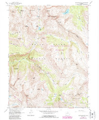
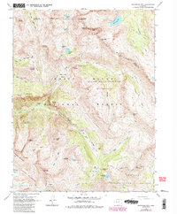
1960 Map of Snowmass Mtn
USGS Topo · Published 1988About this map
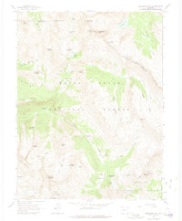
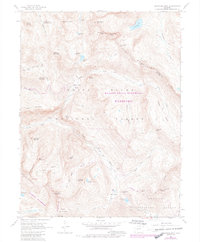
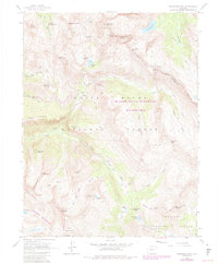
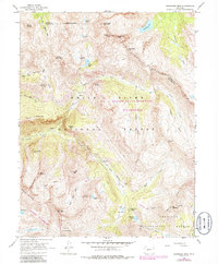
Schofield (Site) sits at the base of Schofield Pass, marking a point of historical transition in the high country where the Crystal River begins its descent. This 1960 survey, revised in 1987, details a high-elevation alpine environment dominated by the Elk Mountains and protected within the Maroon Bells-Snowmass Wilderness and White River National Forest. The map captures the complex network of pack trails that served as the primary transit routes through steep basins like Lead King Basin and Fravert Basin. Industrial history is noted at the Sylvanite Mine, while the physical landscape is defined by massive peaks including Snowmass Mountain and Hagerman Peak. Dozens of glacial lakes, such as Snowmass Lake and Geneva Lake, are connected by high-altitude crossings like Trail Rider Pass and Frigid Air Pass, illustrating the challenging logistics of mining and movement in this part of the Rockies.
Find a feature on this map
57 named features on this map. Tap any name to fly to it.
Don’t see what you’re looking for? This feature index may not catch every label — zoom into the map to look around manually.
Map Details
Editions of this 1960 Snowmass Mtn Map
9 editions found
Other maps of this area

1888 · Crested Butte
USGS Topo · 1:62,500

1888 · Anthracite
USGS Topo · 1:62,500

1889 · Crested Butte
USGS Topo · 1:62,500

1889 · Anthracite
USGS Topo · 1:62,500

1893 · Anthracite
USGS Topo · 1:62,500

1893 · Crested Butte
USGS Topo · 1:62,500

1893 · Aspen
USGS Topo · 1:62,500

1894 · Anthracite
USGS Topo · 1:62,500

1895 · Aspen
USGS Topo · 1:62,500

1909 · Mount Jackson
USGS Topo · 1:125,000