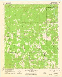
1962 Map of Sobol
USGS Topo · Published 1976About this map
Bull Mountain and its Sobol Lookout Tower dominate the southwest corner of this Oklahoma landscape, overlooking a network of rural settlements and winding waterways. The map captures the meeting point of Pushmataha, McCurtain, and Choctaw counties during the early 1960s, a period when small communities like North Sobol, Sobol, and Ringold served as the primary hubs for local residents. The area is defined by a series of north-south running ridges, including Kiamichi and Fowler, which channel numerous tributaries such as North Turkey Creek and Caney Creek toward the Little River.
Find a feature on this map
34 named features on this map. Tap any name to fly to it.
Don’t see what you’re looking for? This feature index may not catch every label — zoom into the map to look around manually.
Map Details
Editions of this 1962 Sobol Map
3 editions found
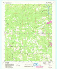
Other maps of this area

1901 · Alikchi
USGS Topo · 1:125,000

1950 · Mcalester
USGS Topo · 1:250,000

1962 · McAlester
USGS Topo · 1:250,000

1962 · Wright City
USGS Topo · 1:24,000

1962 · Sobol
USGS Topo · 1:24,000

1962 · Caney Mountain
USGS Topo · 1:24,000

1962 · Alikchi
USGS Topo · 1:24,000

1962 · Signal Mountain
USGS Topo · 1:24,000
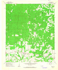
1962 · Swink
USGS Topo · 1:24,000

1965 · McAlester
USGS Topo · 1:250,000