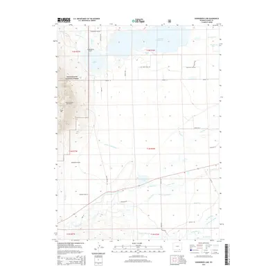
2015 Map of Sodergreen Lake
USGS Topo · Published 2015About this map
Medicine Bow National Forest encompasses the western heights of this region, where the Medicine Bow Mountains rise above the Laramie Plains. The landscape is defined by a complex network of water management features, including the large Lake Hattie Reservoir and the smaller Sodergreen Lake. These bodies of water are linked by an extensive system of man-made waterways such as the Lake Hattie Supply Canal, Parker Ditch, and Last Chance Ditch. This intricate irrigation and supply network illustrates the critical importance of water rights and distribution in the high-plains ranching economy.
Find a feature on this map
47 named features on this map. Tap any name to fly to it.
Don’t see what you’re looking for? This feature index may not catch every label — zoom into the map to look around manually.
Map Details
Editions of this 2015 Sodergreen Lake Map
This is the sole edition of this map. No revisions or reprints were ever made.
Other maps of this area

1895 · Laramie
USGS Topo · 1:125,000

1902 · Laramie
USGS Topo · 1:125,000

1905 · Laramie
USGS Topo · 1:125,000

1906 · Medicine Bow
USGS Topo · 1:125,000

1906 · Laramie
USGS Topo · 1:125,000

1908 · Laramie
USGS Topo · 1:125,000

1908 · Medicine Bow
USGS Topo · 1:125,000

1954 · Cheyenne
USGS Topo · 1:250,000

1954 · Rawlins
USGS Topo · 1:250,000

1958 · Rawlins
USGS Topo · 1:250,000