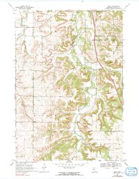
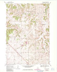
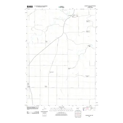
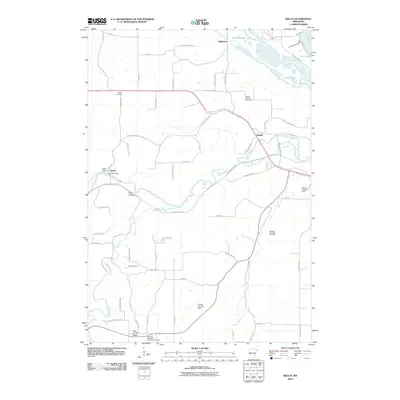
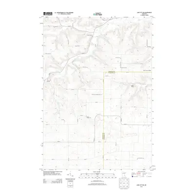
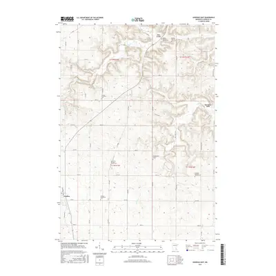
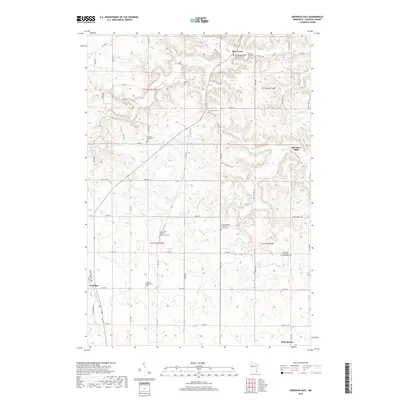
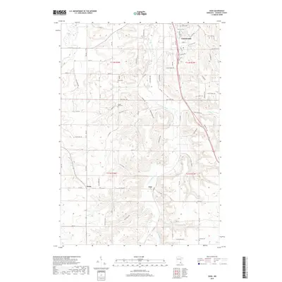
1968 Map of Sogn
USGS Topo · Published 1991About this map
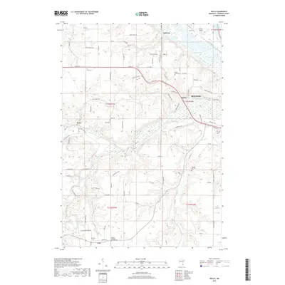
The Little Cannon River carves a deep valley through the agricultural landscape of Goodhue County, defining the rural character of this region in the late 1960s. Scattered throughout the townships of Stanton, Cannon Falls, Warsaw, and Leon are the cornerstones of Scandinavian settlement, including Wangen Prairie Ch and Urland Ch. The map documents small crossroads communities like Wangs and Sogn, which served as local hubs before larger regional shifts altered the rural economy.
Find a feature on this map
27 named features on this map. Tap any name to fly to it.
Don’t see what you’re looking for? This feature index may not catch every label — zoom into the map to look around manually.
Map Details
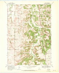
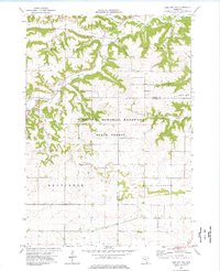
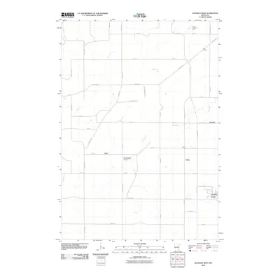
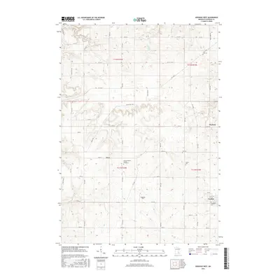
Editions of this 1968 Sogn Map
2 editions found
Historical Maps of Cannon Falls Through Time
37 maps found
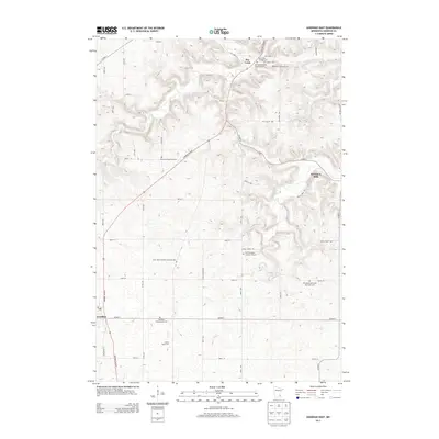
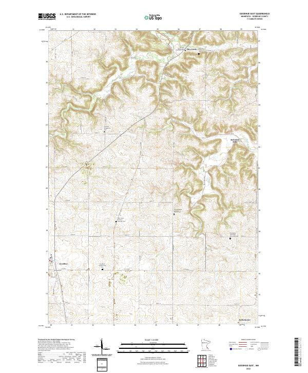
1968 Goodhue East
Goodhue County, MN
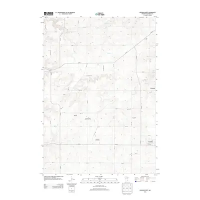
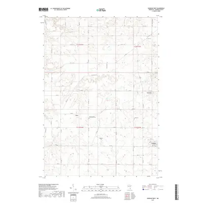
1968 Goodhue West
Goodhue County, MN
1968 Sogn
Goodhue County, MN
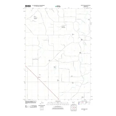
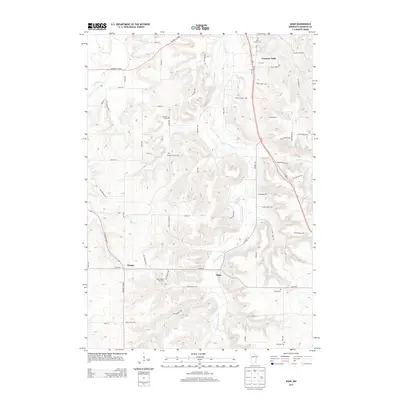
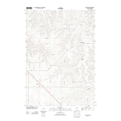
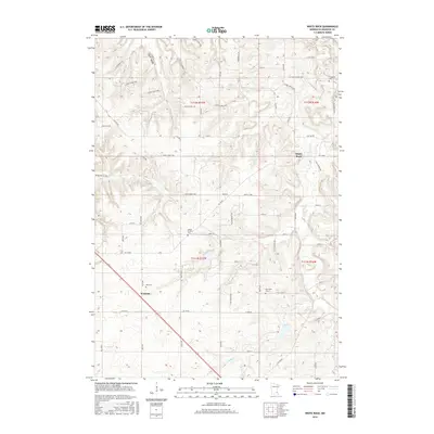
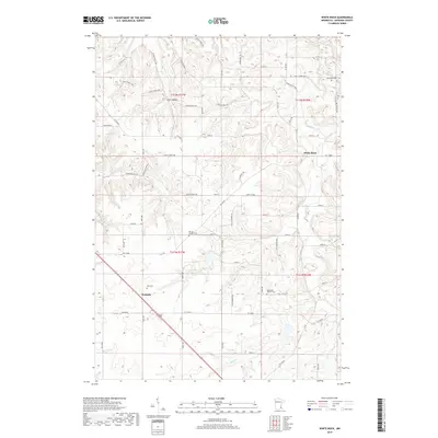
1968 White Rock
Goodhue County, MN
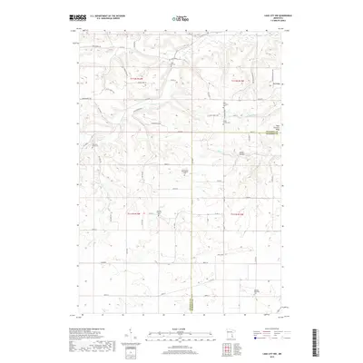
1974 Lake City NW
Goodhue County, MN
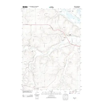
1974 Welch
Goodhue County, MN
1991 Welch
Goodhue County, MN
2010 Goodhue East
Goodhue County, MN
2010 Goodhue West
Goodhue County, MN
2010 Lake City NW
Goodhue County, MN
2010 Sogn
Goodhue County, MN
2010 Welch
Goodhue County, MN
2010 White Rock
Goodhue County, MN
2013 Goodhue East
Goodhue County, MN
2013 Goodhue West
Goodhue County, MN
2013 Lake City NW
Goodhue County, MN
2013 Sogn
Goodhue County, MN
2013 Welch
Goodhue County, MN
2013 White Rock
Goodhue County, MN
2016 Goodhue East
Goodhue County, MN
2016 Goodhue West
Goodhue County, MN
2016 Lake City NW
Goodhue County, MN
2016 Sogn
Goodhue County, MN

2016 Welch
Goodhue County, MN
2016 White Rock
Goodhue County, MN
2019 Goodhue East
Goodhue County, MN
2019 Goodhue West
Goodhue County, MN
2019 Lake City NW
Goodhue County, MN
2019 Sogn
Goodhue County, MN
2019 Welch
Goodhue County, MN
2019 White Rock
Goodhue County, MN
2022 Goodhue East
Goodhue County, MN
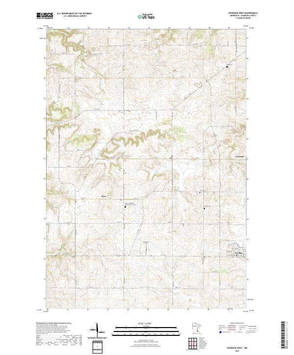
2022 Goodhue West
Goodhue County, MN

2022 Lake City NW
Goodhue County, MN
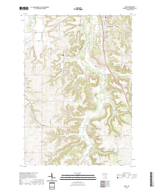
2022 Sogn
Goodhue County, MN
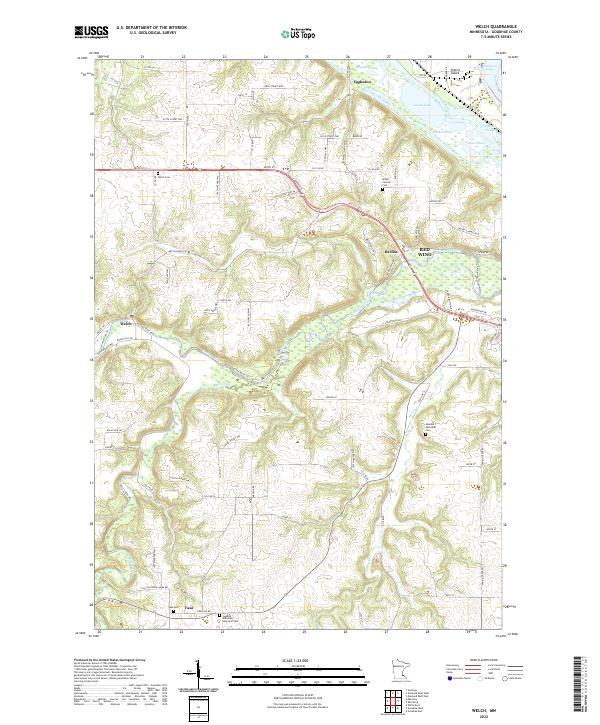
2022 Welch
Goodhue County, MN
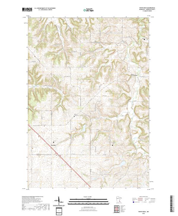
2022 White Rock
Goodhue County, MN