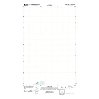
2011 Map of Soldier Point OE N
USGS Topo · Published 2011About this map
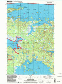
Rainy Lake defines the southern extent of this international borderlands survey, where the remote waters of Ontario, Canada, and Minnesota, United States, meet. Most of this particular sheet covers the expansive water surface and the international boundary line itself as it passes through the Rainy River District. Near the bottom edge of the map, Fox Island emerges as a solitary terrain feature within the lake, marking a distinct point of land in this northern aquatic landscape. This 2011 edition, produced by the U.S. Geological Survey, focuses on the hydrography and jurisdictional boundaries that characterize the region just north of the border, providing a clear record of the shoreline and island formations in this specific reach of the lake.
Find a feature on this map
3 named features on this map. Tap any name to fly to it.
Don’t see what you’re looking for? This feature index may not catch every label — zoom into the map to look around manually.
Map Details
Editions of this 2011 Soldier Point OE N Map
This is the sole edition of this map. No revisions or reprints were ever made.
Other maps of this area

1954 · International Falls
USGS Topo · 1:250,000

1957 · International Falls
USGS Topo · 1:250,000

1958 · International Falls
USGS Topo · 1:250,000

1967 · Kempton Bay
USGS Topo · 1:24,000

1968 · Soldier Point
USGS Topo · 1:24,000

1969 · Cranberry Bay
USGS Topo · 1:24,000
1978 · International Falls
USGS Topo · 1:100,000
1978 · Brule Narrows
USGS Topo · 1:100,000
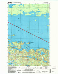
1999 · Kempton Bay
USGS Topo · 1:24,000
1999 · Cranberry Bay
USGS Topo · 1:24,000